Forest of Nisene Marks
Santa Cruz, California
Gravel
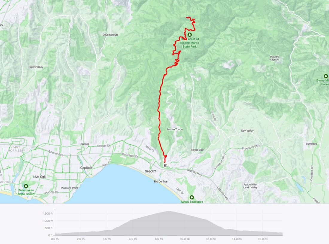
17.5 miles | 1,800 ft elevation | 94% gravel
ride date: November 2022
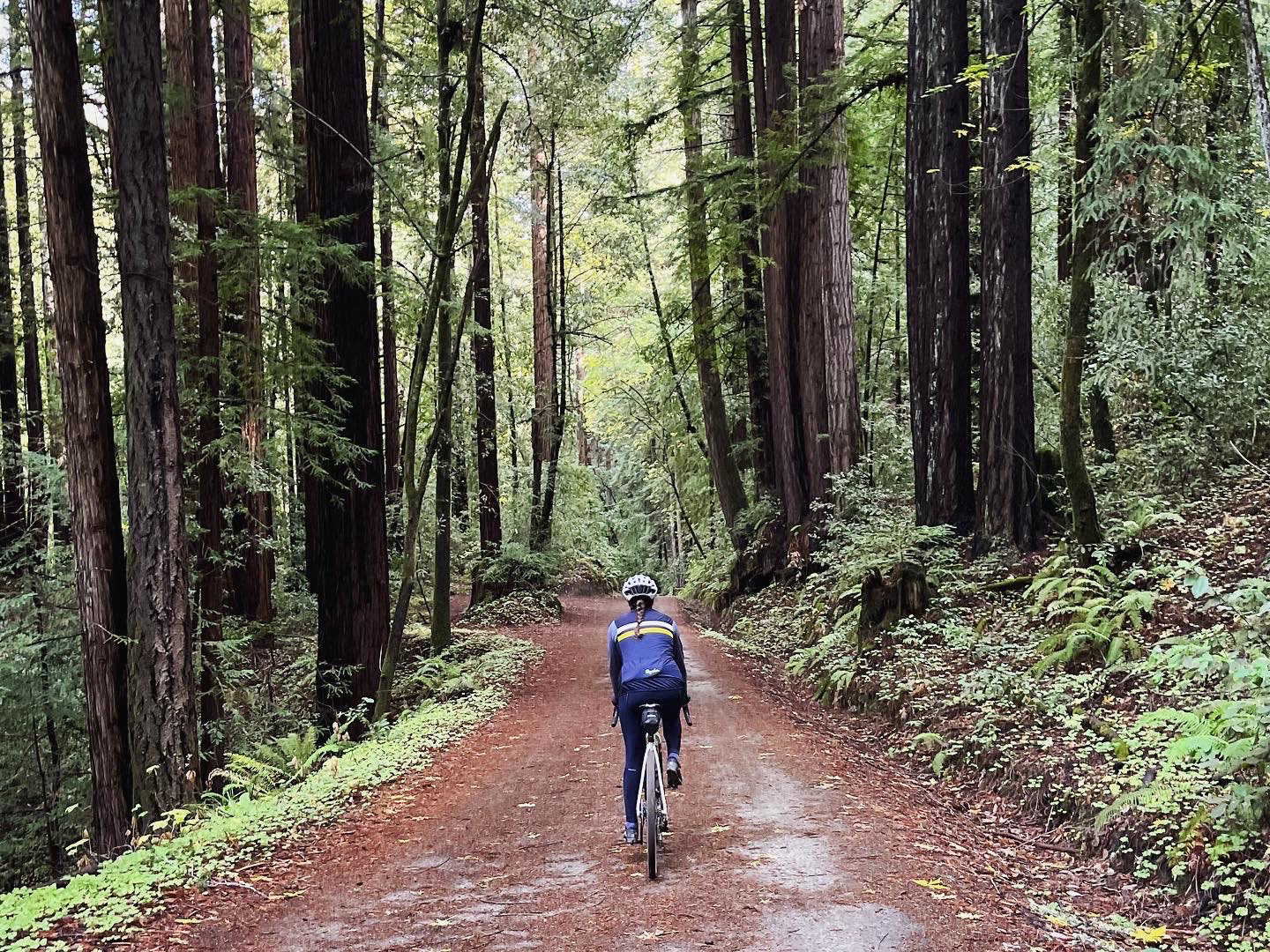
The Forest of Nisene Marks State Park is just outside Santa Cruz (starting from the town of Aptos). Park on the street near Epicenter Cycling bike shop and head north on Aptos Creek Road. You will ride half a mile on pavement, until you enter the park and the road turns to dirt.
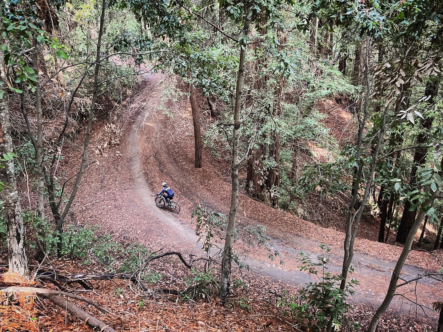
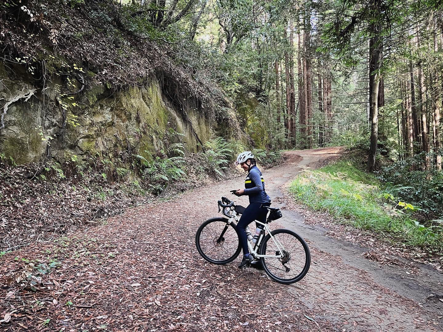
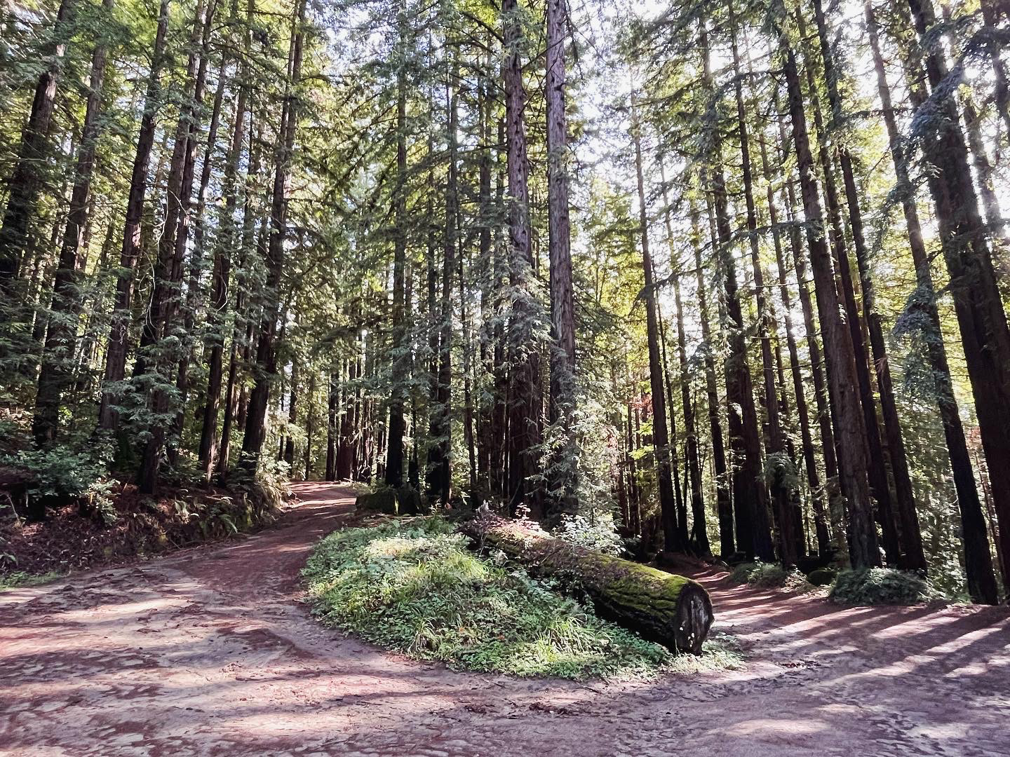
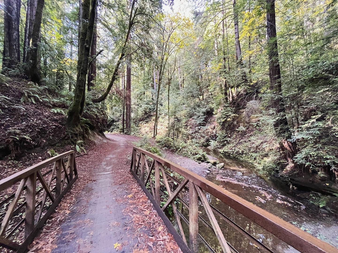
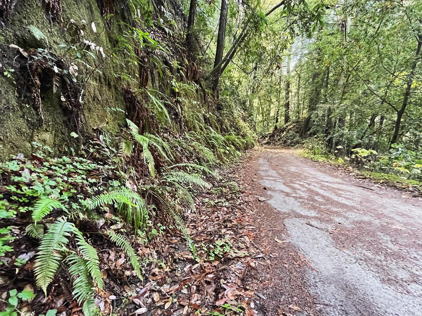
You will share the road with cars for about 2 miles until you cross Steel Bridge and go around the gate (the rest of the route is car-free!) The next 2 miles are pleasant, riding below the redwoods up an easy grade. Around mile 4.5, you’ll start to encounter some steep sections and switch backs. Just before mile 6 you’ll see a “Top of Incline” sign which means the hard part is over! You will continue to climb for another 3 miles (at a much more manageable grade) until you reach Sand Point Overlook.
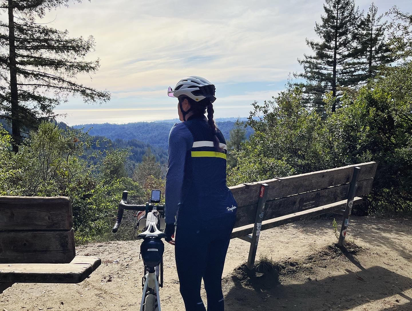
Take a break on one of the two benches, and enjoy the view of the ocean in the distance. Then turn around for the fun descent back!
Strava Route:
cyclingjenny.com aims to provide content that is true and accurate as of the date of writing; however, the accuracy and judgment of the author is not guaranteed. cyclingjenny.com and its associates are in no way liable for personal injury, loss or damage to personal property, or any other such situation that should occur to individuals following the guides, routes and recommendations. Please review the full Terms & Disclaimer.