Mount Diablo
Walnut Creek, California
Road
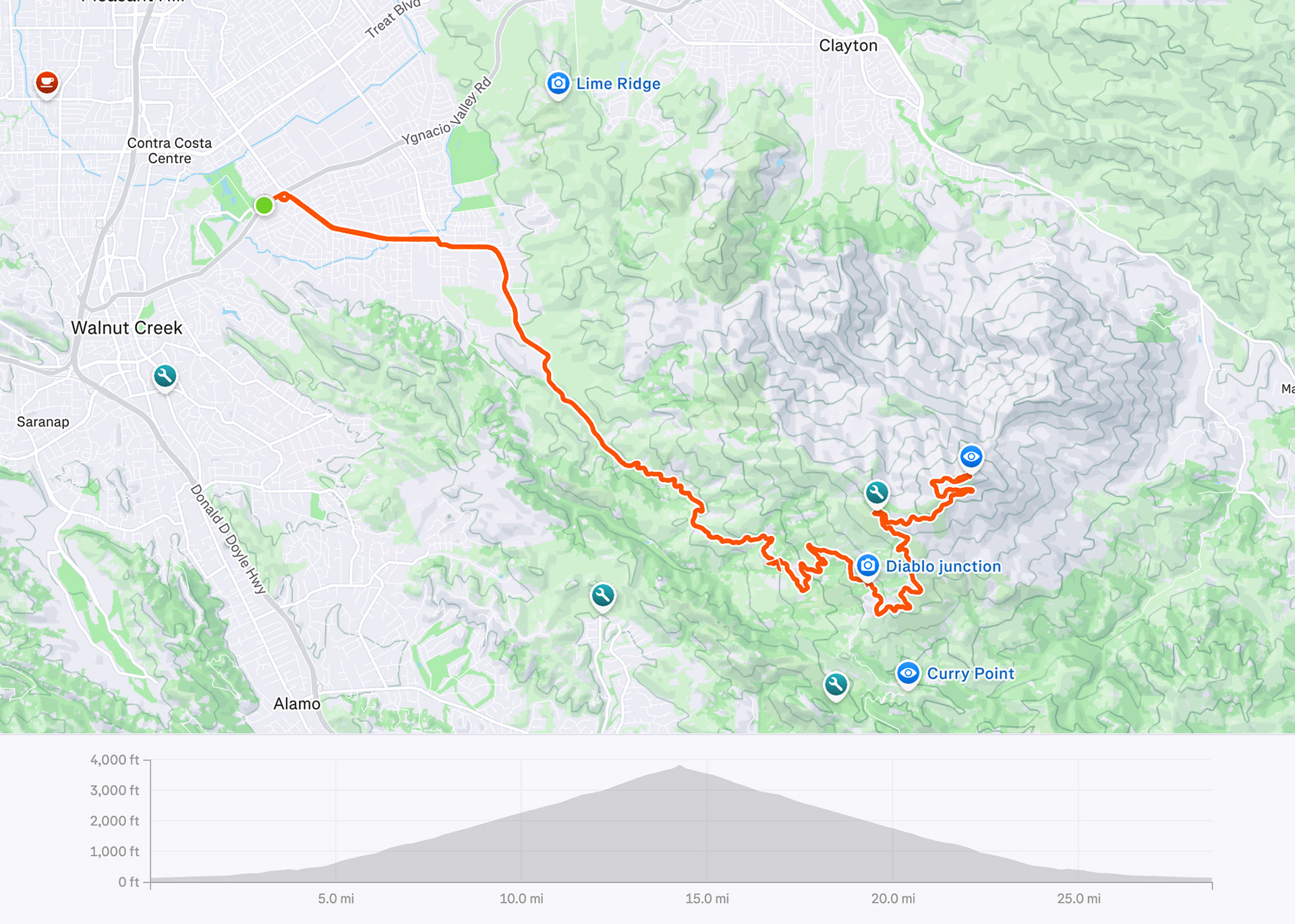
29 miles | 3,800 ft elevation
Ride date: October 2025
Mount Diablo State Park is a hub for hikers, cyclists and campers with the main attraction being the summit of Mount Diablo and its panoramic views. This Northern California gem is a must-do for any cyclist that loves to tackle a long mountain climb. The average grade is about 5.5% and due to the location and climate, the summit is typically accessible year-round.
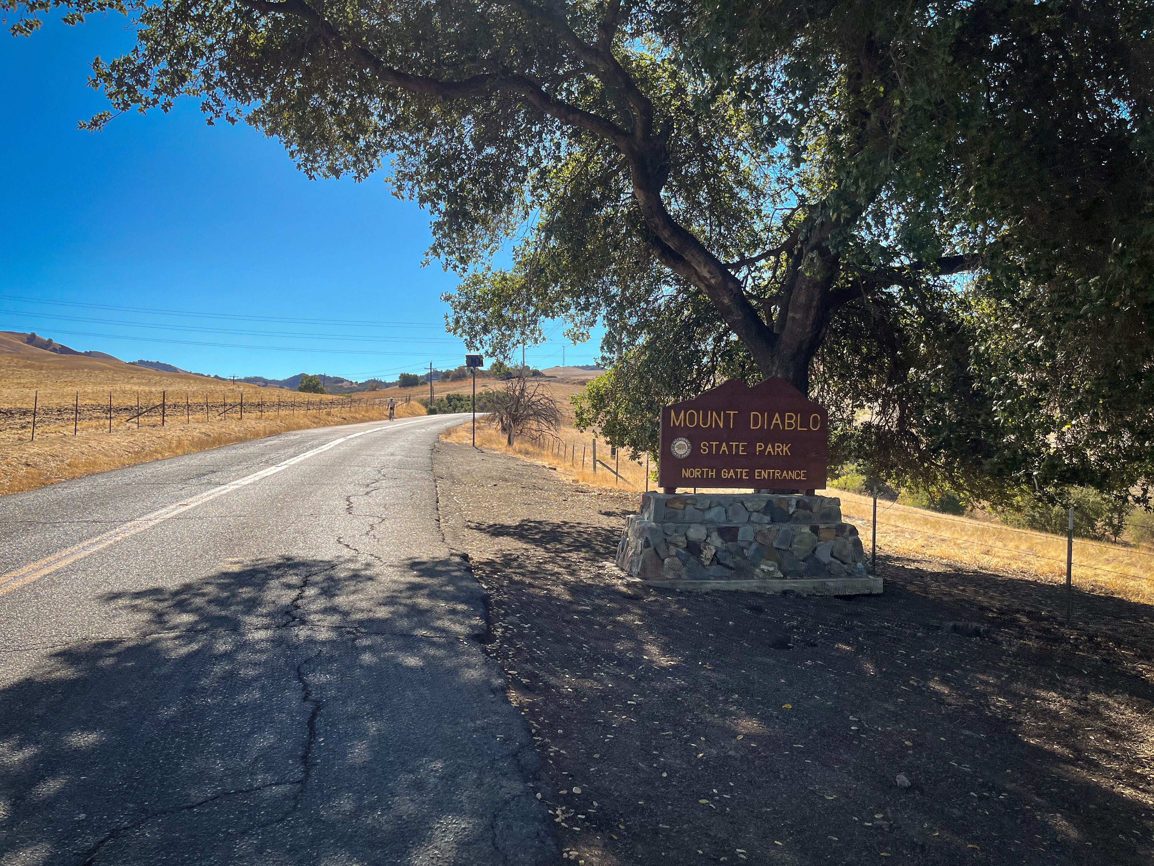
Starting from the Sports Basement shopping center (located on Ygnacio Valley Road), make your way to Walnut Ave (note: Ygnacio Valley Road has no bike lane and is very busy, so I ride on the sidewalk for this short 0.2 miles). For 1.5 miles, you’ll ride through a residential neighborhood before reaching the roundabout and turning onto North Gate Road.
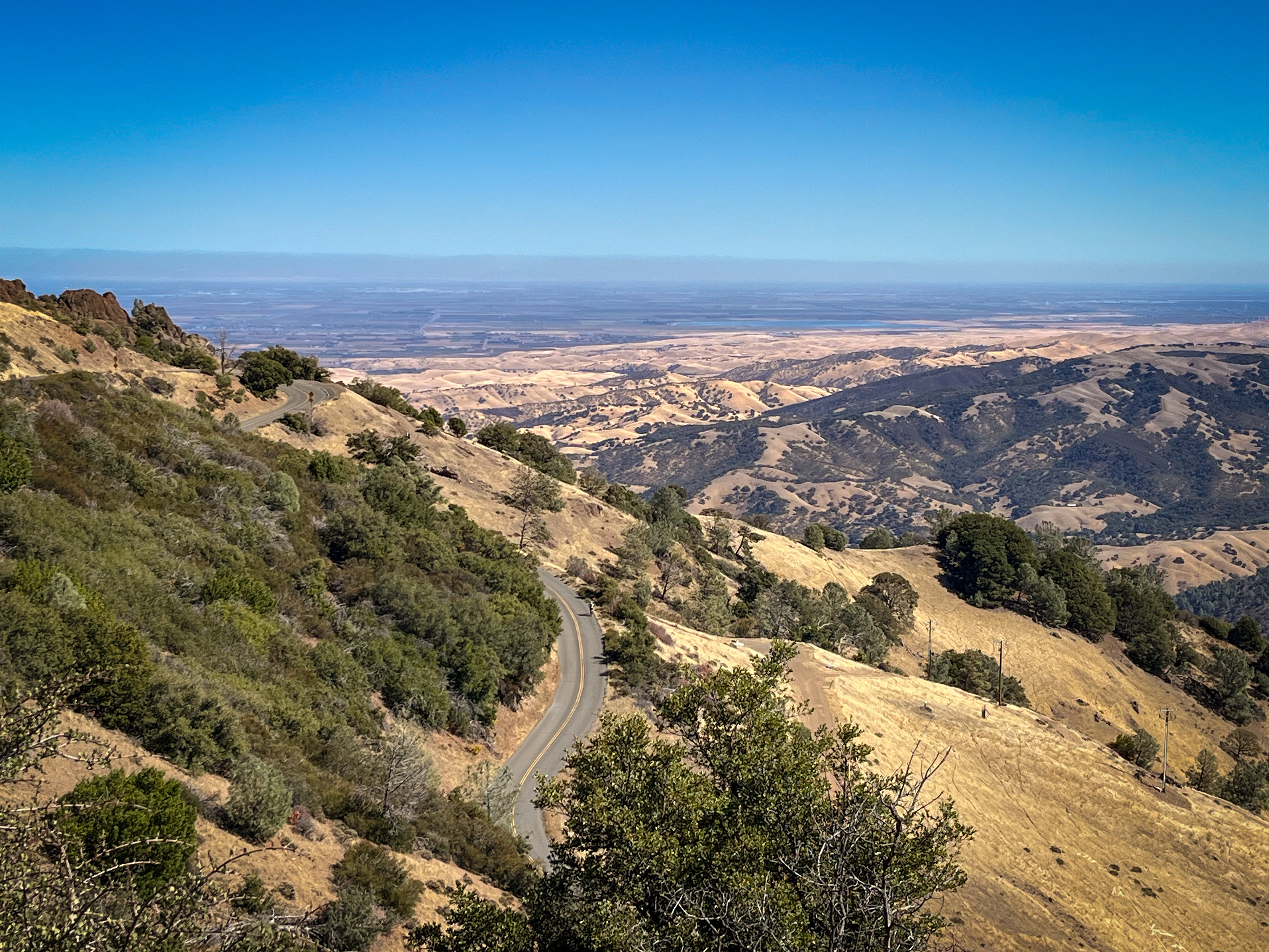
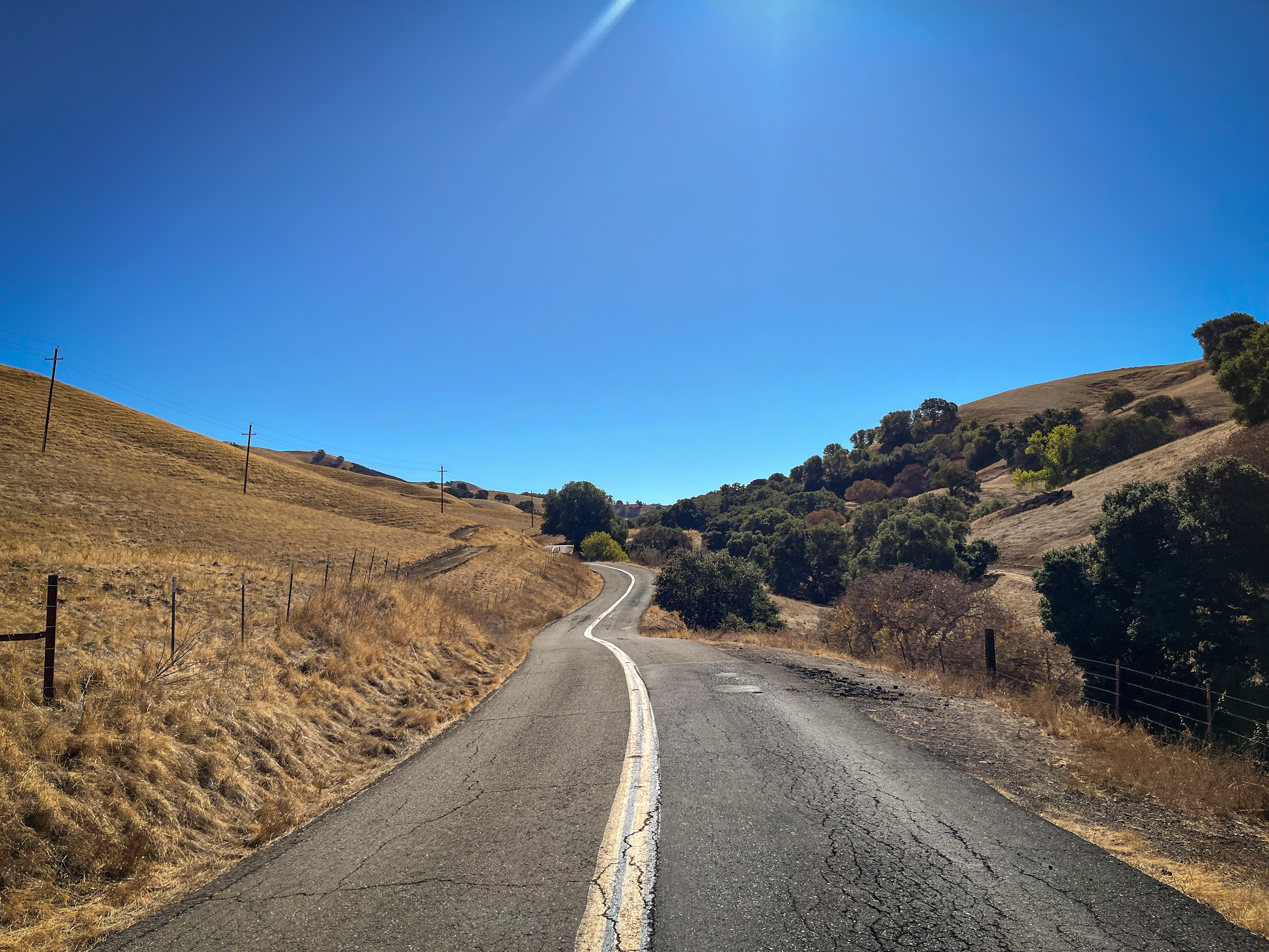
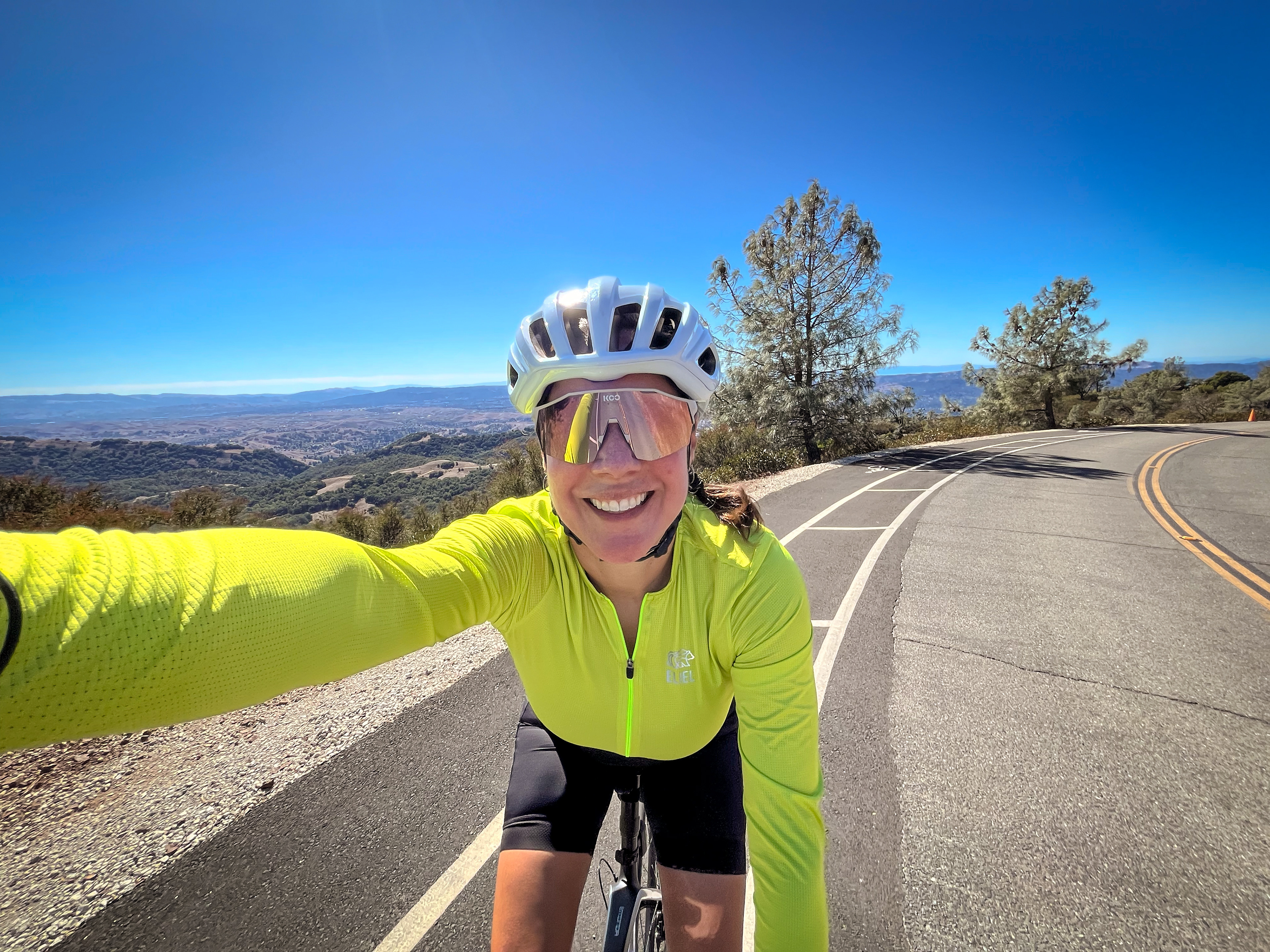
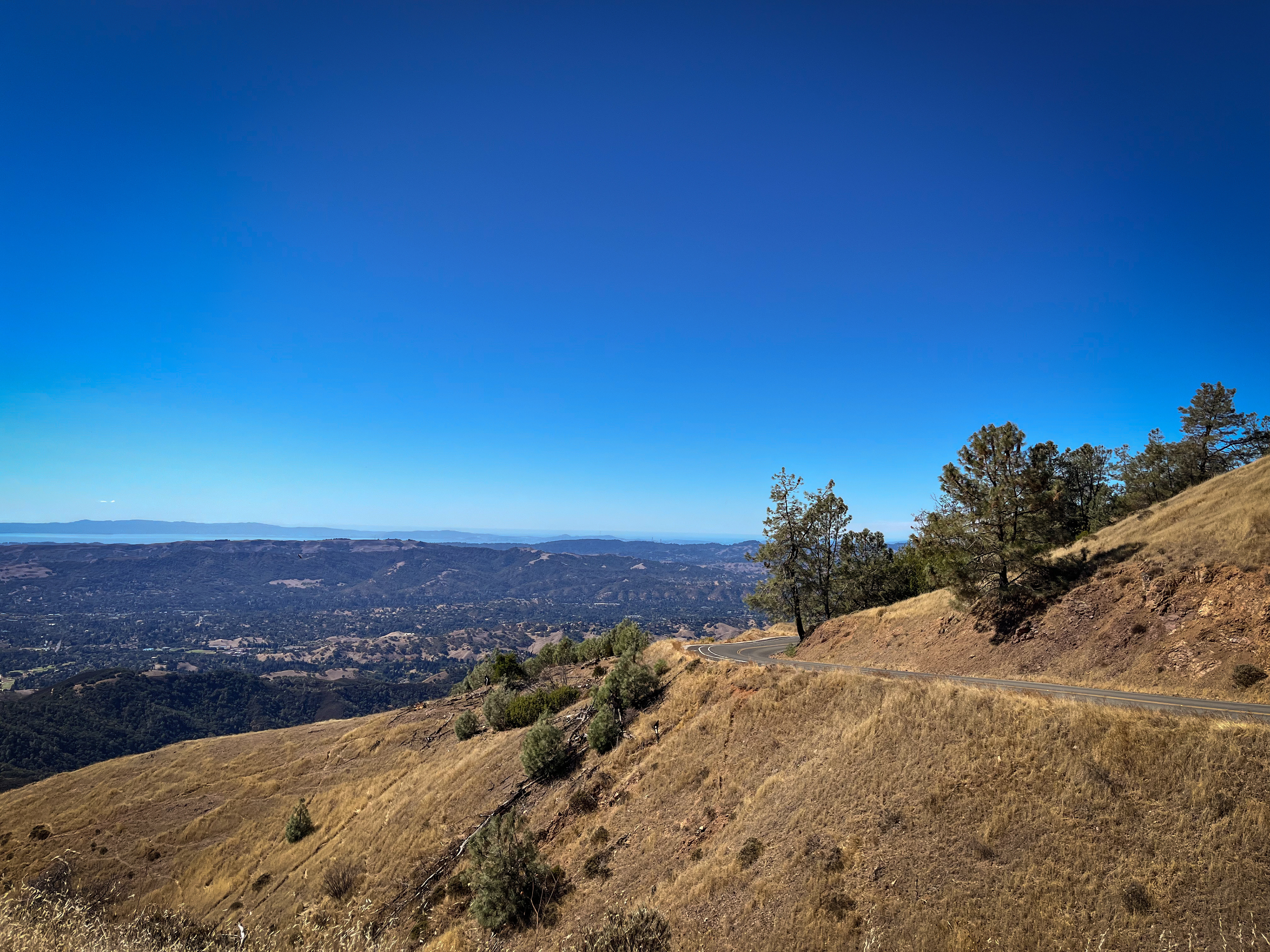
You will pass through the North Gate entrance around mile 3, and from that point it is 11 miles of climbing to the summit. The next 2 miles will be a gradual ascent as you pass by ranches and pastures, and soon the road will start to twist and turn with the views becoming more scenic.
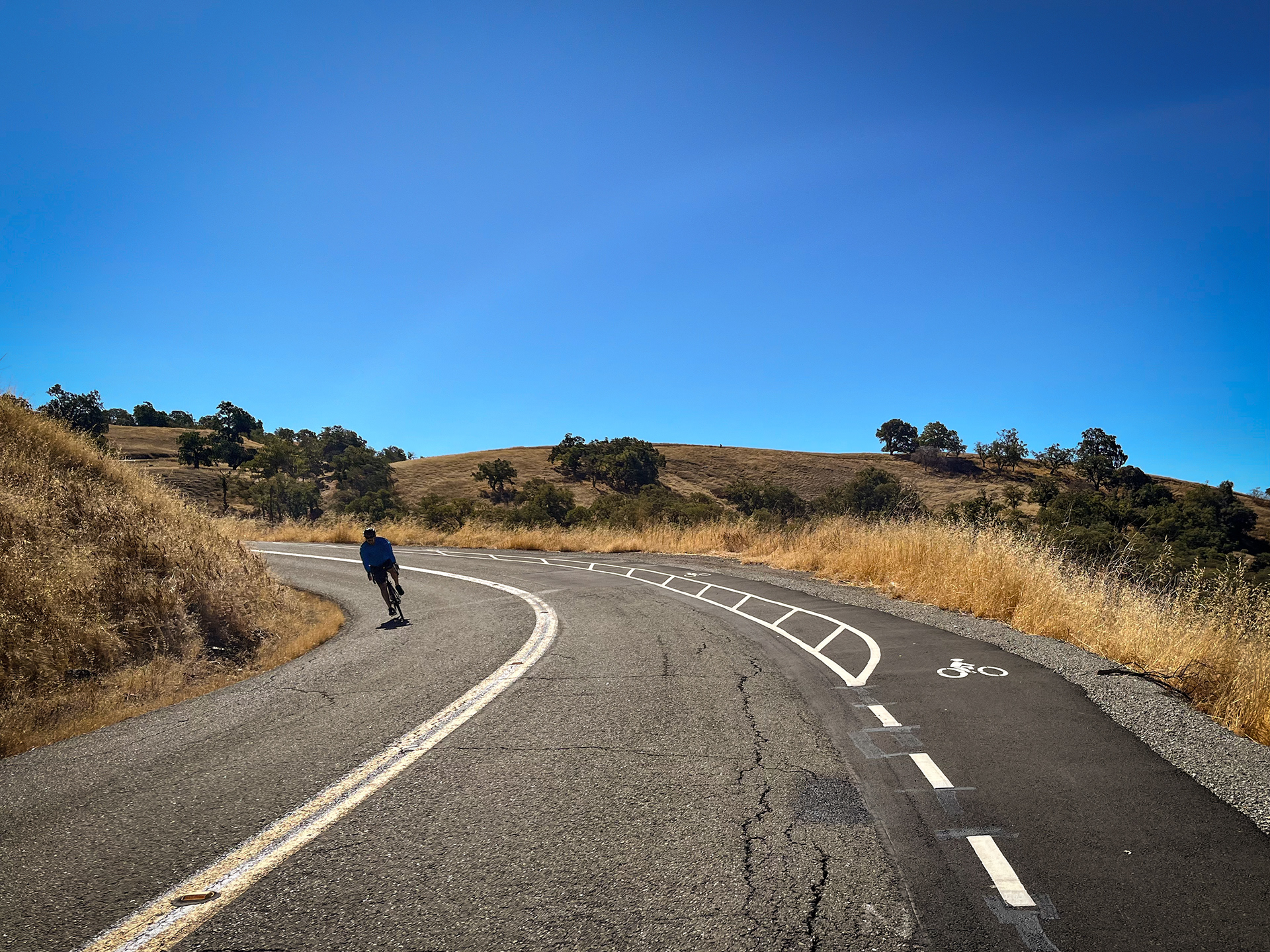
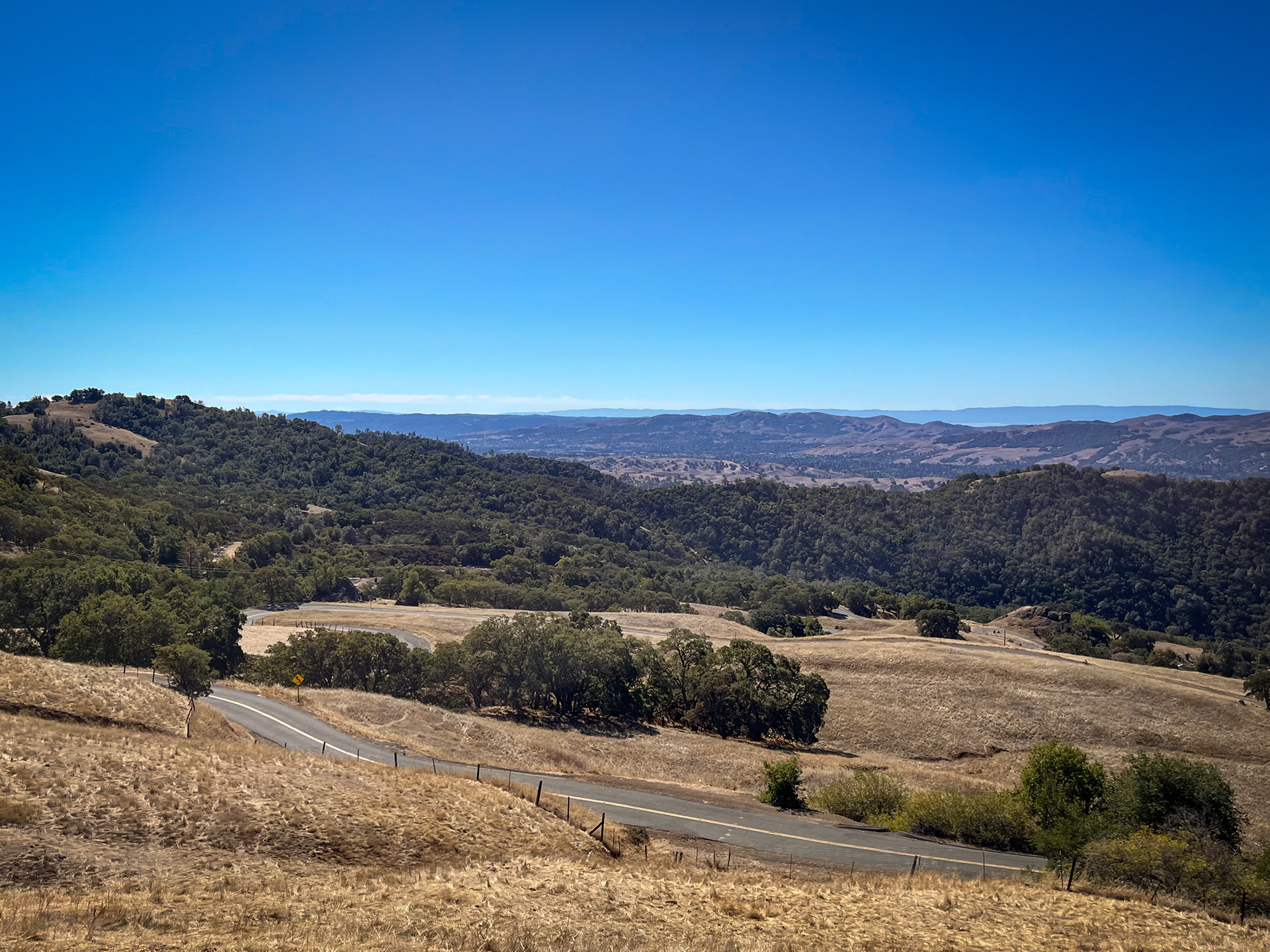
Around mile 10, you will reach the Junction Ranger Station (at the North Gate Road, South Gate Road and Summit Road junction), which is a popular spot to take a break and refill water bottles (the water fountain is located on the backside of the ranger station building). Once you’re ready to continue, head up Summit Road for the final 4.5 miles of climbing and stunning views of the Bay Area and the Central Valley.
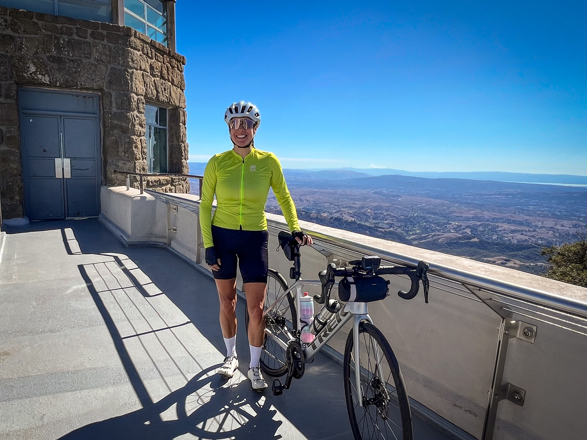
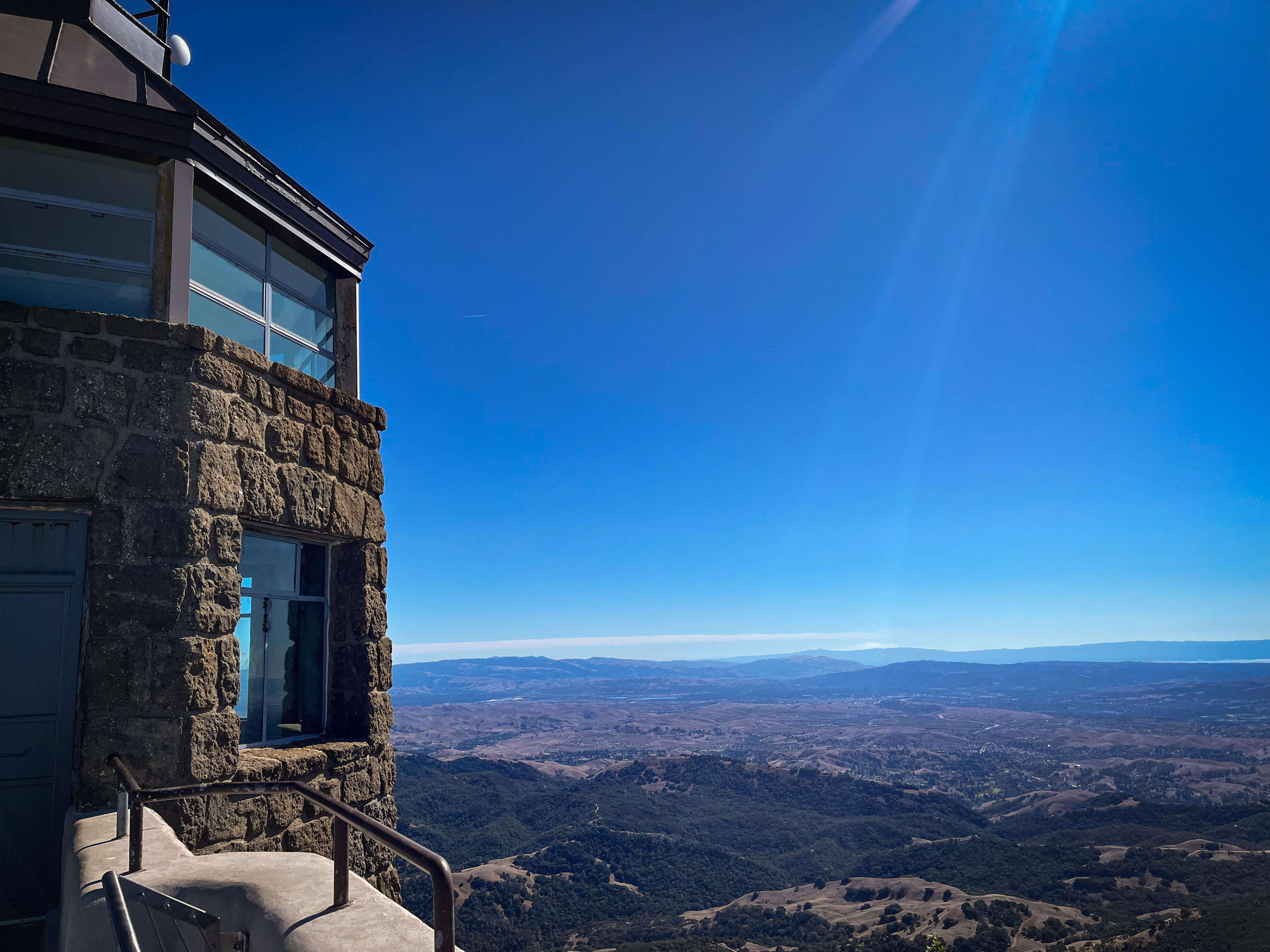
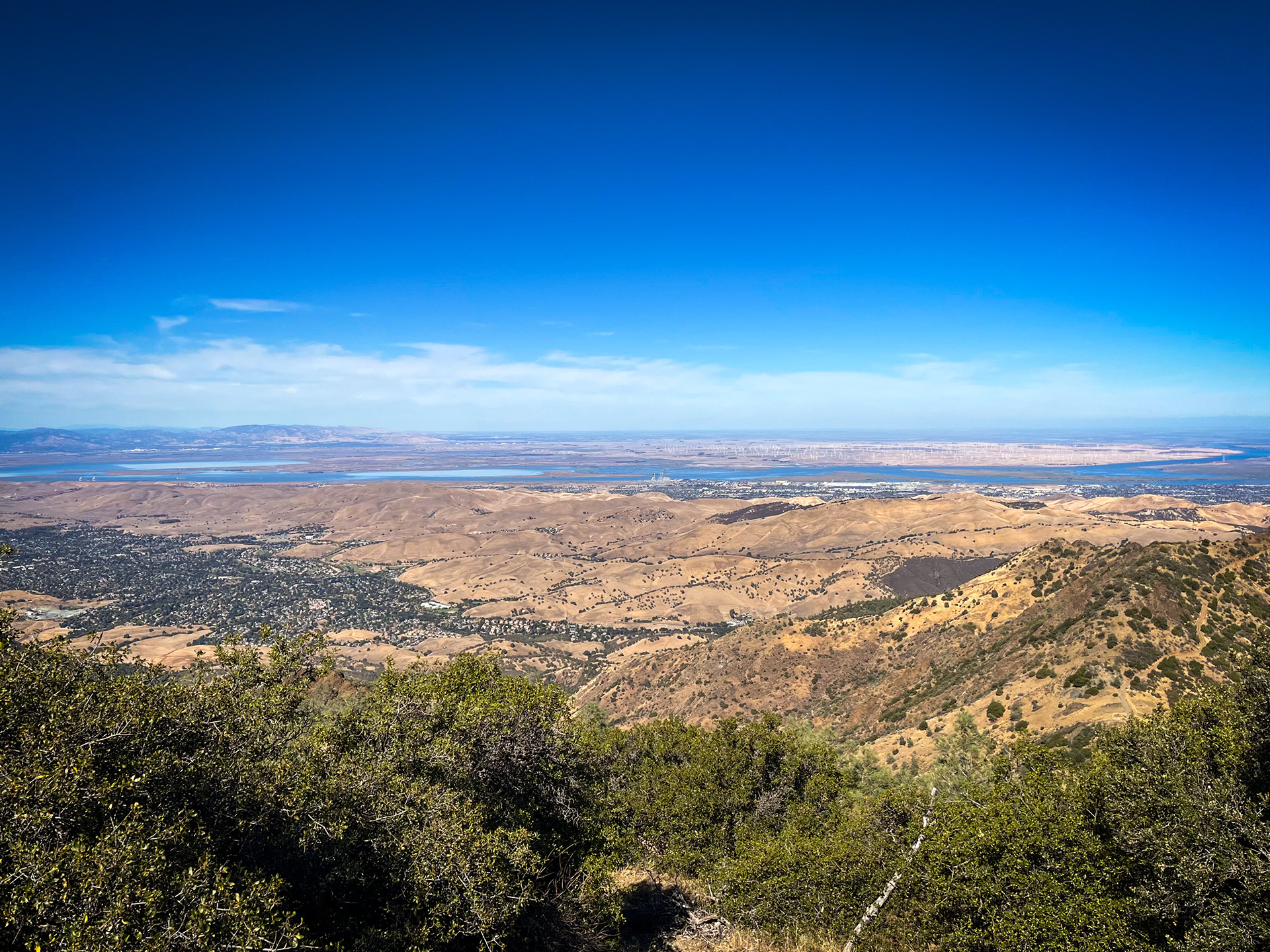
You will pass by the lower parking lot around mile 14 and the last 0.2 miles to the upper summit parking lot are the hardest part of the entire route, as the road becomes very steep (around 15% - 17%)! The Visitor Center sits at 3,849 feet and the ultimate vantage point is from the building’s observation deck. Take the circular stairway to the top and explore the tower and admire the incredible 360° view! On a clear day, you can see 100 miles in all directions, including Altamont Pass windmills to the east and the Golden Gate Bridge way in the distance to the west.
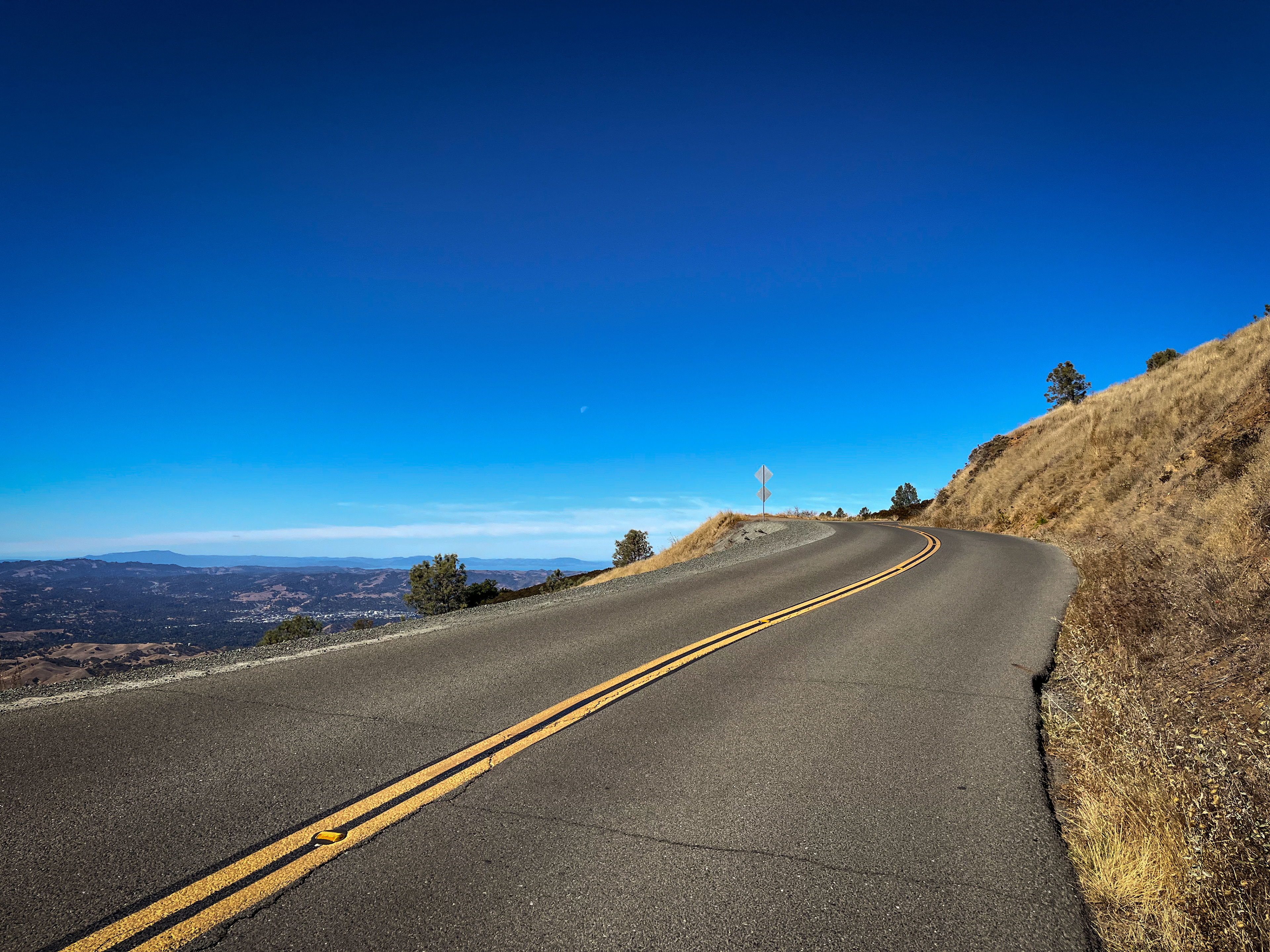
After soaking it all in, make the descent back down the mountain. Enjoy the sweeping views but be mindful of cars and other cyclists and ride with caution around blind curves. After about 30 minutes (give or take, depending on your speed), you will pass through the North Gate entrance and ride the final 3 miles back to the starting point (note: taking the sidewalk again, in the wrong direction, along Ygnacio Valley Road for those final 0.2 miles).
Strava Route:
Notes
There are restrooms and water fountains at the Summit Visitor Center and the Junction Ranger Station.
Pay attention to weather forecasts and be aware of changing conditions. Summers can be very hot and a majority of the route is exposed, so carry plenty of hydration. It can be windy at the top and much cooler, so bring layers for the descent.
The summit is a popular destination, so weekdays are best for those that want to experience this route with less cars on the road.
There are a number of bike turnouts along the way, which provide a safe place for cyclists to move over and allow vehicles to pass.
Visit the official Mount Diablo State Park website for park and visitor center information.
cyclingjenny.com aims to provide content that is true and accurate as of the date of writing; however, the accuracy and judgement of the author is not guaranteed. cyclingjenny.com and its associates are in no way liable for personal injury, loss or damage to personal property, or any other such situation that should occur to individuals following the guides, routes and recommendations. Please review the full Terms & Disclaimer.