Mt Veeder Road
Napa, California
Road
32 miles | 1,900 ft elevation
Ride date: February 2023
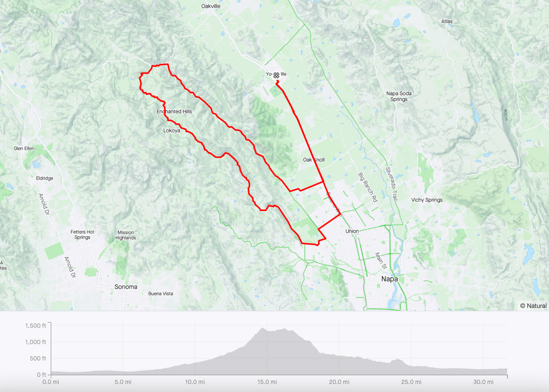
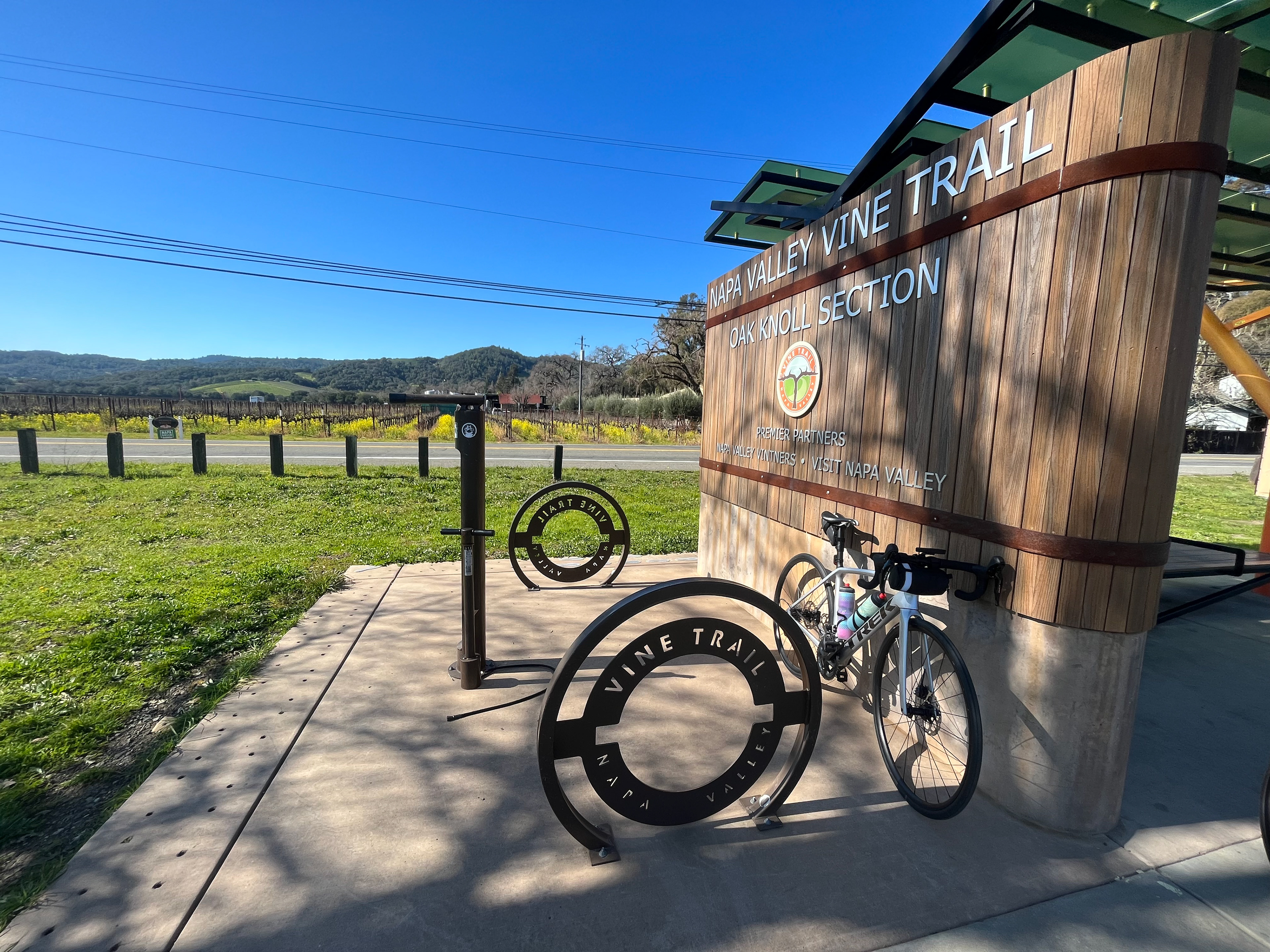
Starting from Yountville (there is a free public parking lot off of Mulberry St behind the Post Office/Library/Police Station), head south through town and cross under the freeway to pick up the Napa Valley Vine Trail. Enjoy an easy, flat warm-up for the first 5.5 miles on the path, until you reach Trower Ave. Continue west on Trower Ave and south on Dry Creek Rd until you reach Redwood Rd at mile 7.
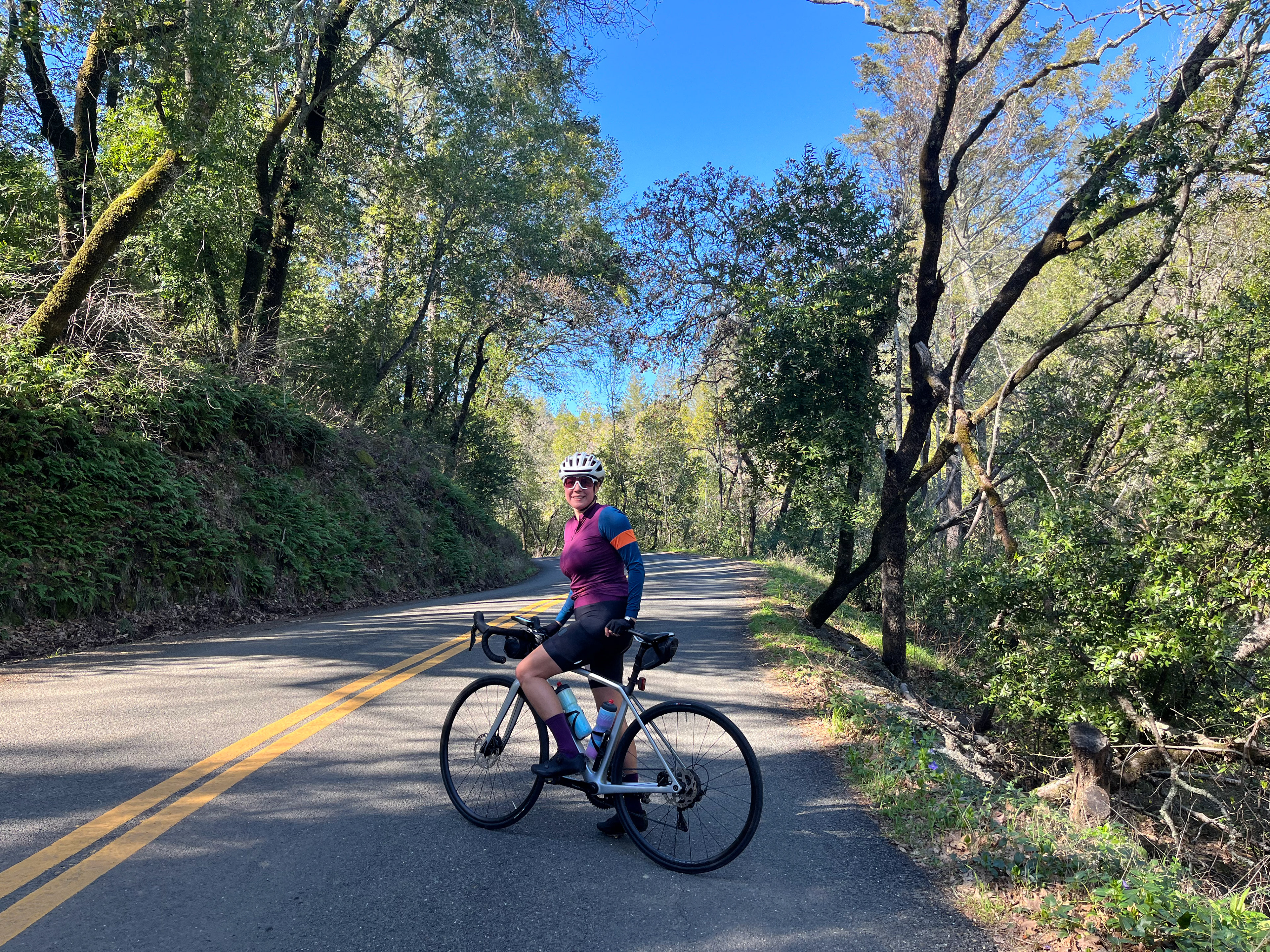
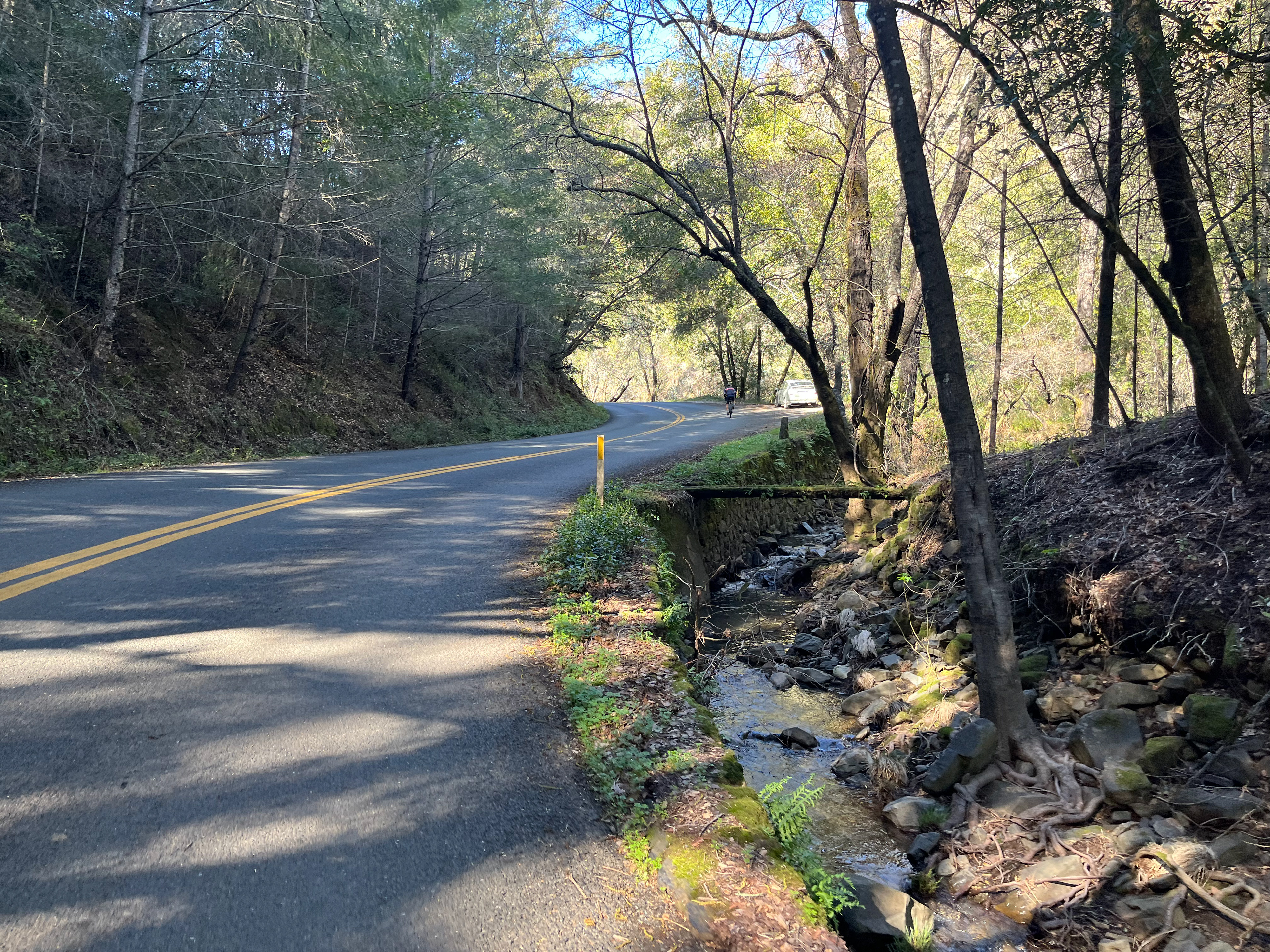
The next couple miles on Redwood Rd can be busy with cars at times, but once you reach Mt Veeder Rd at mile 10 you won’t see many cars for the next 4.5 miles as you climb your way to the top. Around mile 13.5, the grade kicks up a notch and for about a mile you’ll encounter a few steep sections.
For the next 2 miles, the road winds along the summit with views of the valley below and the following 2 miles are a fun descent until you reach Dry Creek Rd. Stay to the right and continue on Dry Creek Rd for the next 7 miles, coasting below the redwood trees and hitting some rough pavement as you return back to the valley.
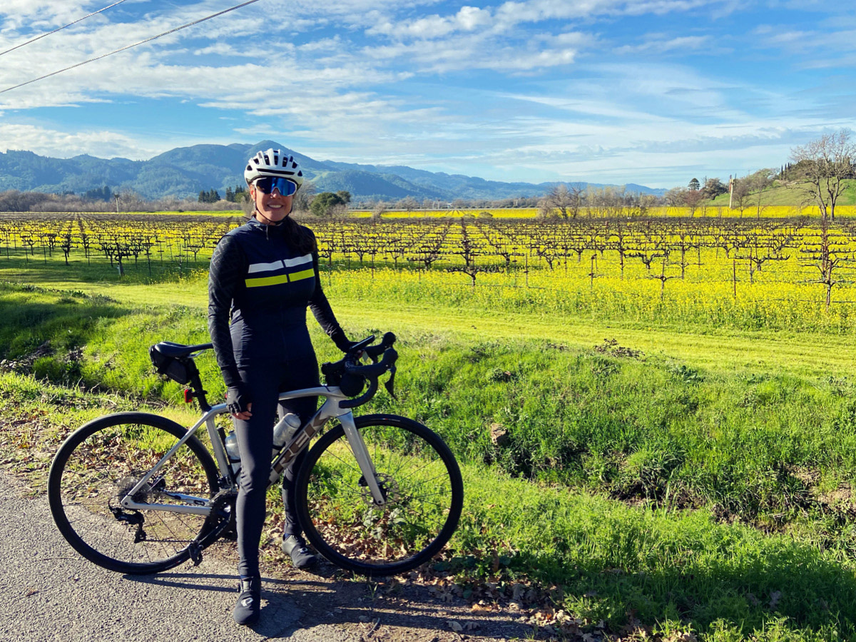
At mile 26, take Orchard Ave and ride for about a mile alongside the vineyards until you reach the Vine Trail. The final 4 miles are on the same bike path from which you started and the leisurely stretch back is the perfect way to end a quintessential Napa Valley ride.
Strava Route:

cyclingjenny.com aims to provide content that is true and accurate as of the date of writing; however, the accuracy and judgment of the author is not guaranteed. cyclingjenny.com and its associates are in no way liable for personal injury, loss or damage to personal property, or any other such situation that should occur to individuals following the guides, routes and recommendations. Please review the full Terms & Disclaimer.