Truckee Tahoe Gravel
Truckee, California
Gravel
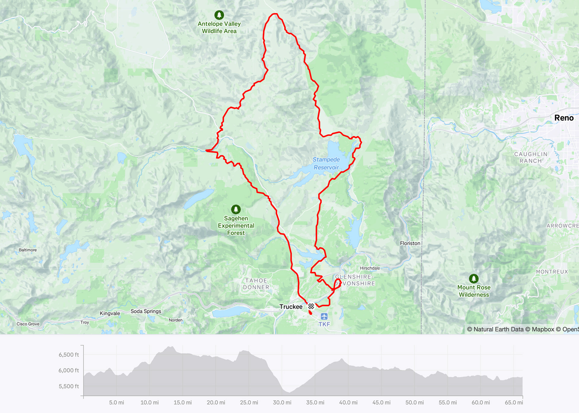
66 miles | 4,400 ft elevation | 84% gravel
Ride date: July 2025
This event is a great way to experience the best of what Truckee gravel has to offer with course options for every rider level. The Medium Course is 84% gravel with a nice balance of challenging climbs and fun descents and so many unique sections, each different from the last. This region of the Truckee Tahoe area is so beautiful and your hard efforts are rewarded with stunning views throughout the entire day.

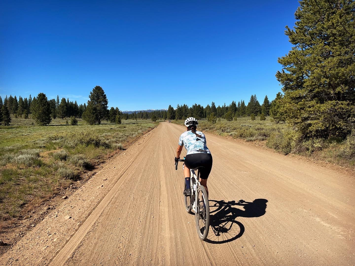
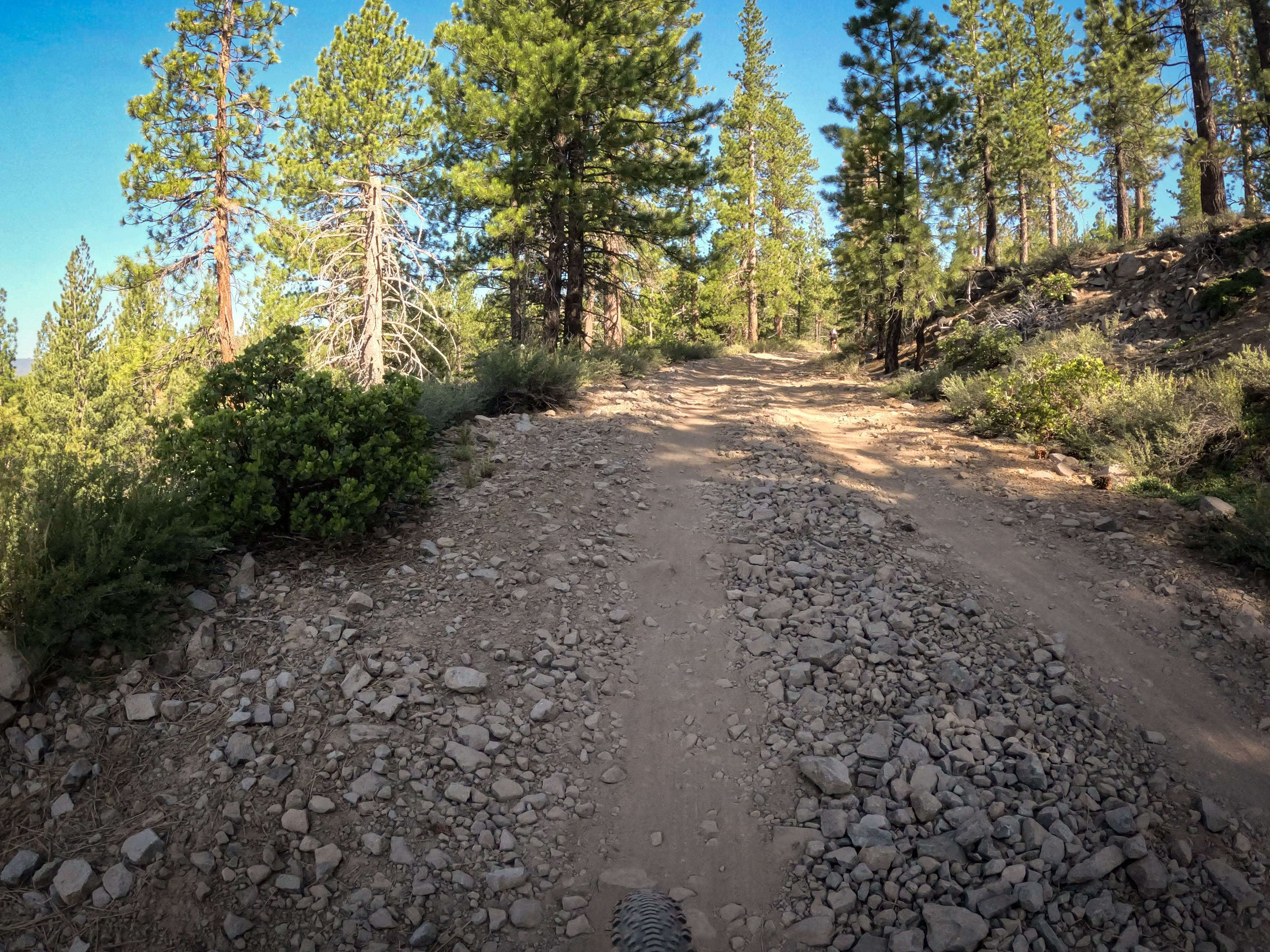
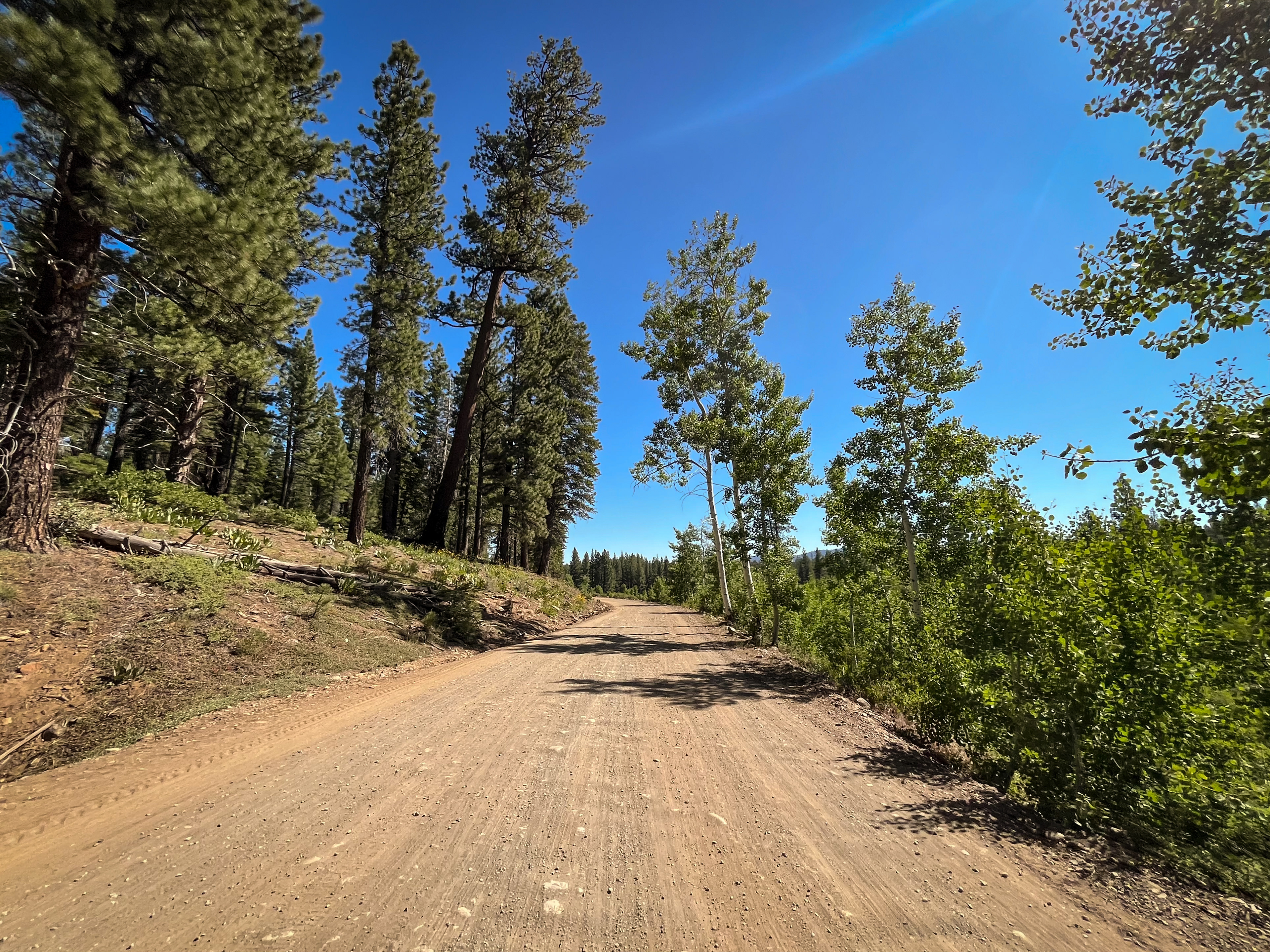
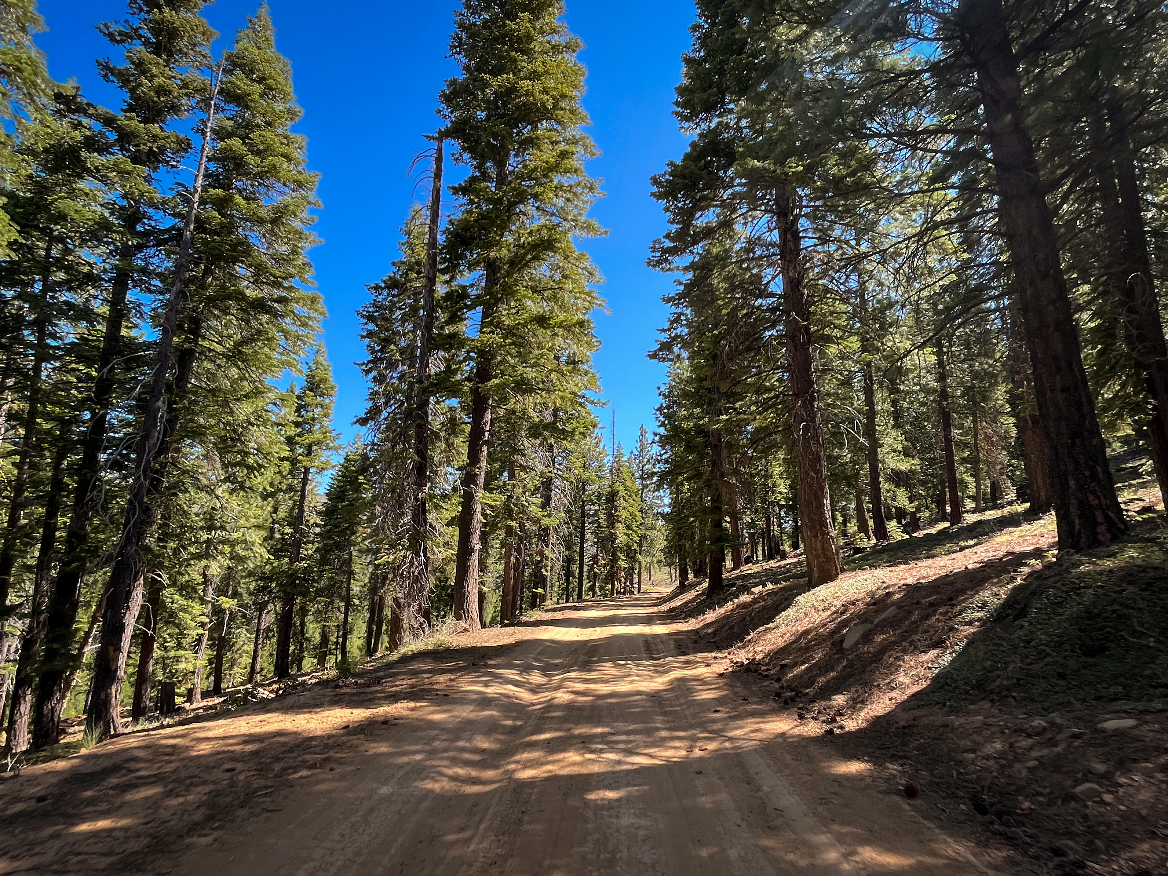
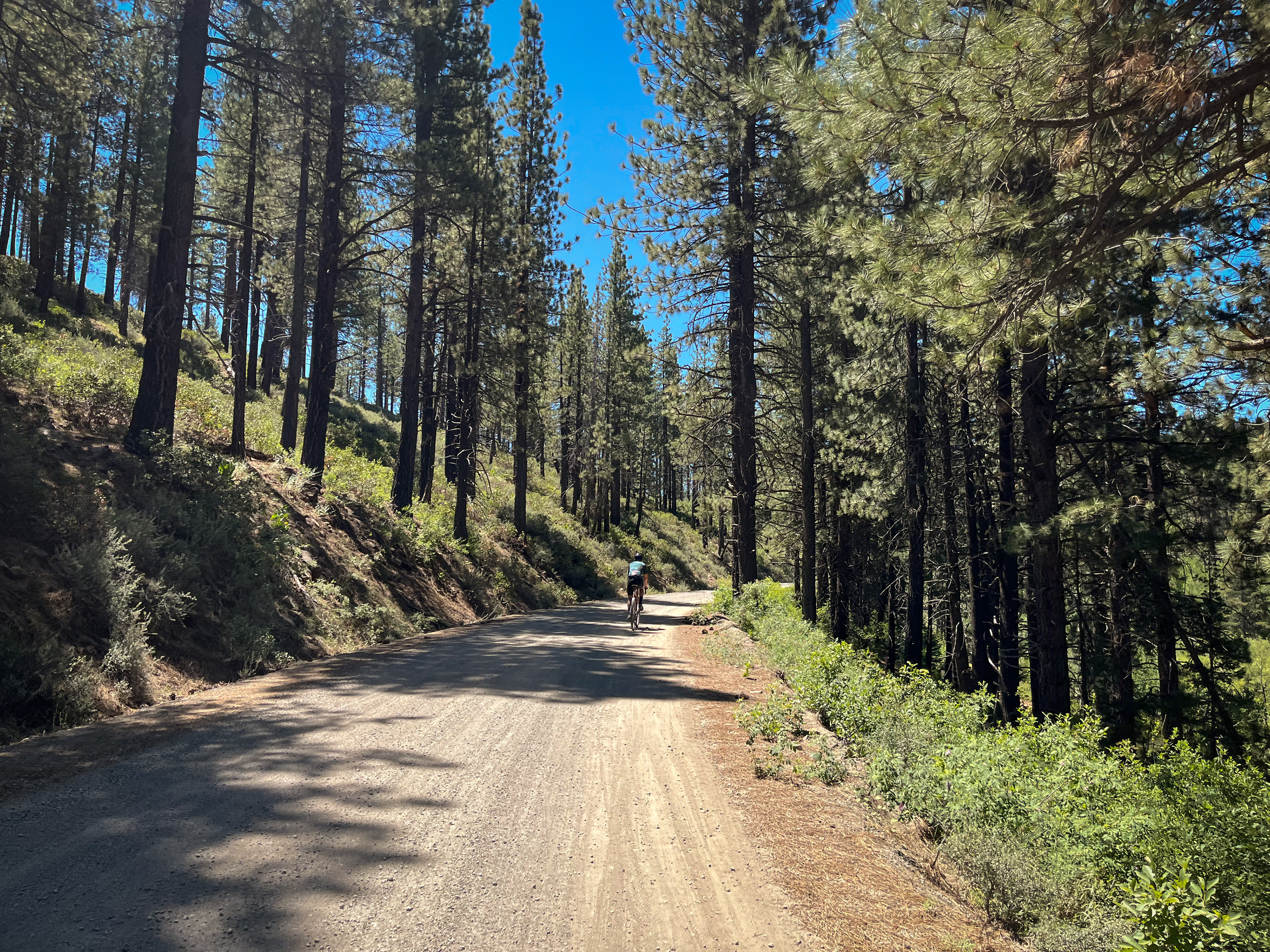
Starting from Riverview Sports Park, the first 7 miles are on pavement as you cross the Truckee River and make your way north of town. Once you reach gravel (miles 7-18) it’s mostly uphill with a few moments of reprieve, including some spicy spots so it’s best to take those descents slowly.
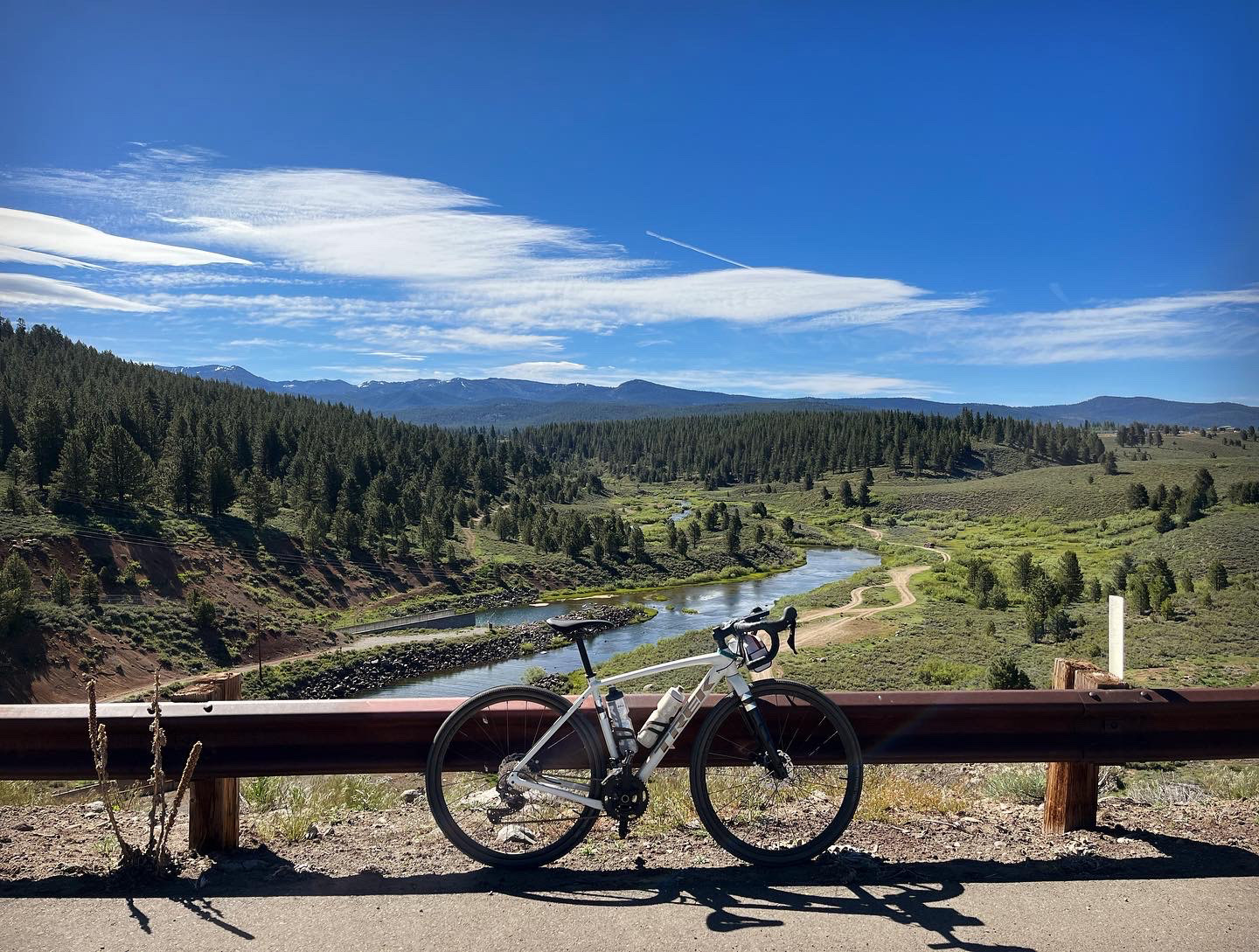
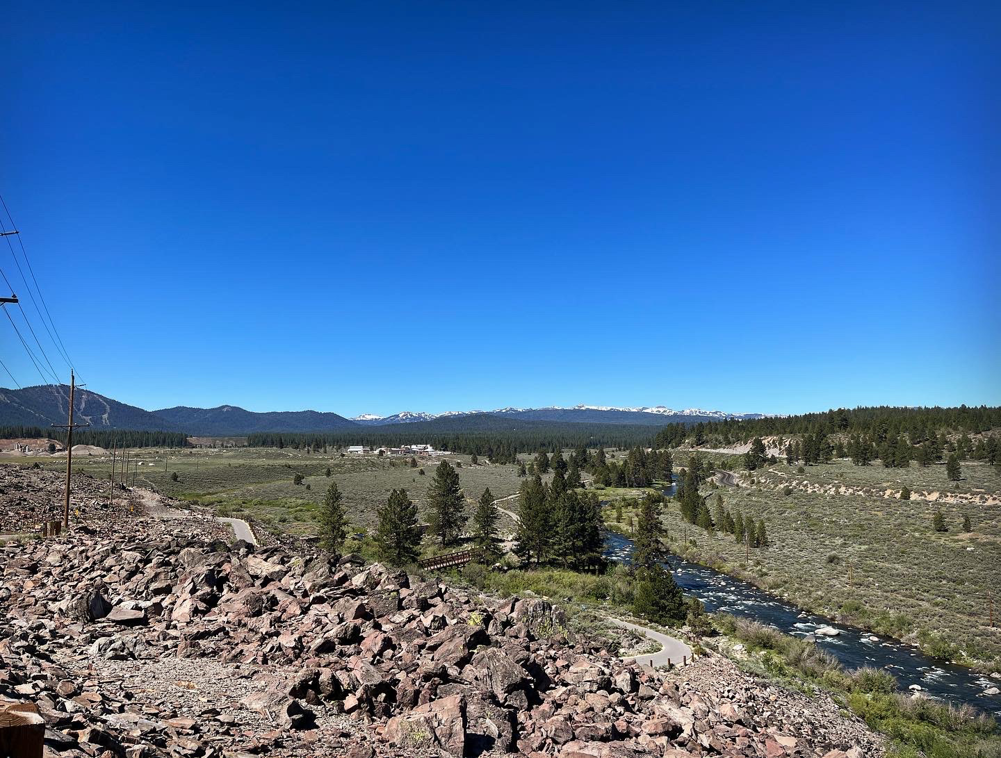
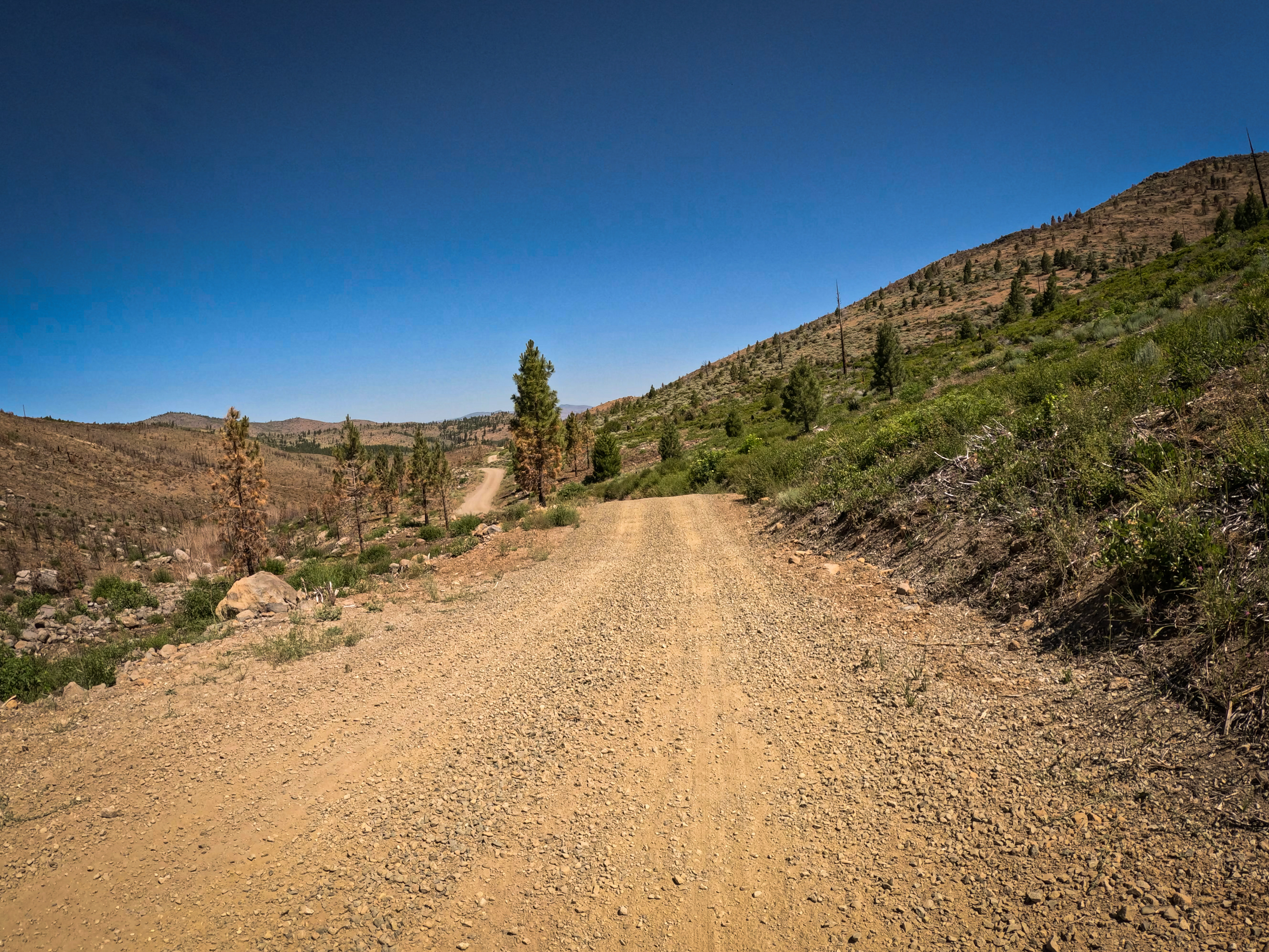
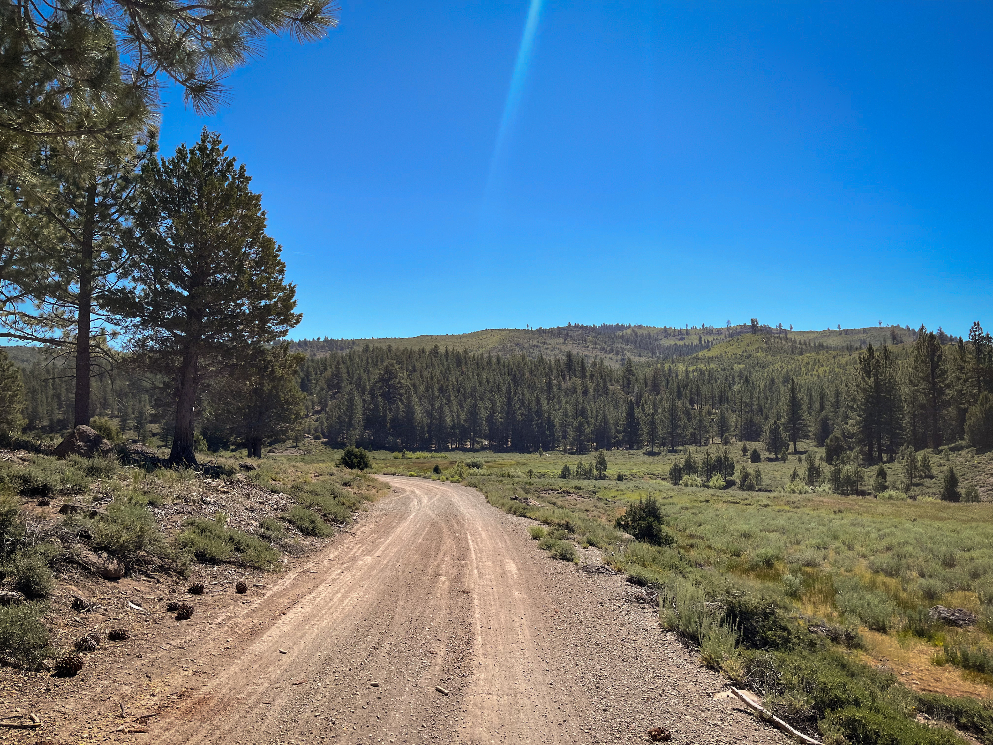
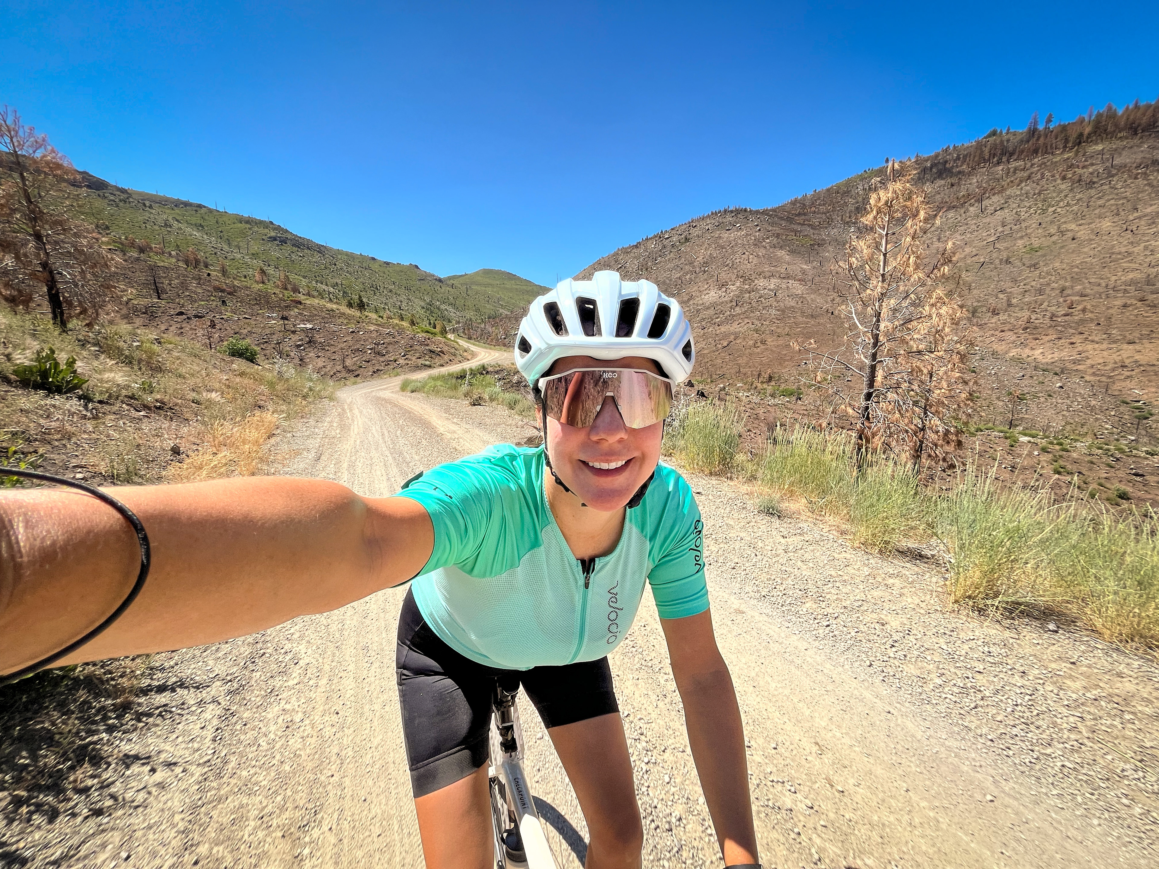
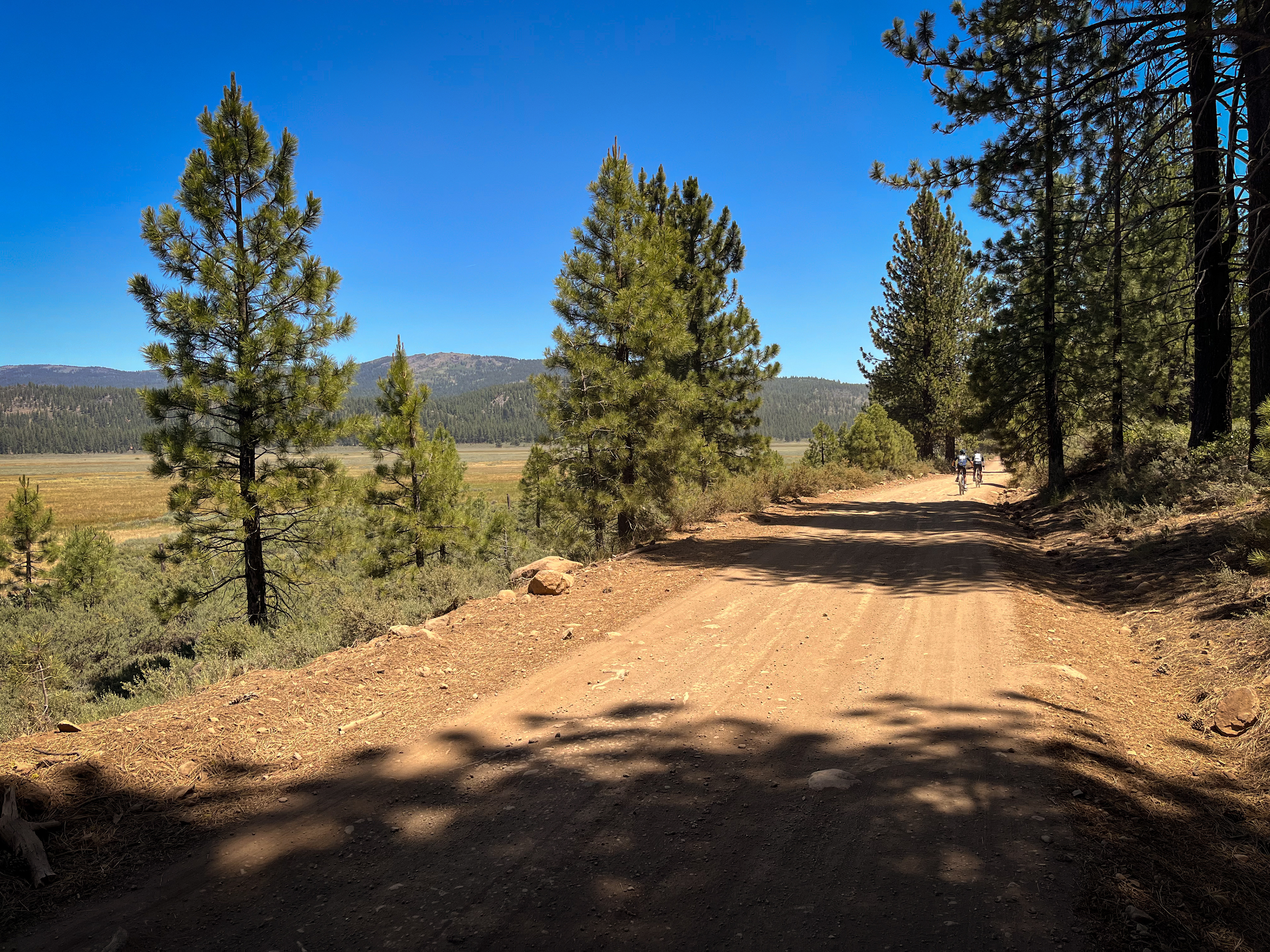
The next 4 miles are very pleasant with a modest downhill grade that makes it feel as though you are gliding through the trees, followed by a short little climb for about a mile. Then it's time for a 6-mile descent through Bear Valley, coasting through completely different terrain including some rock formations and burn scar from recent wildfires.
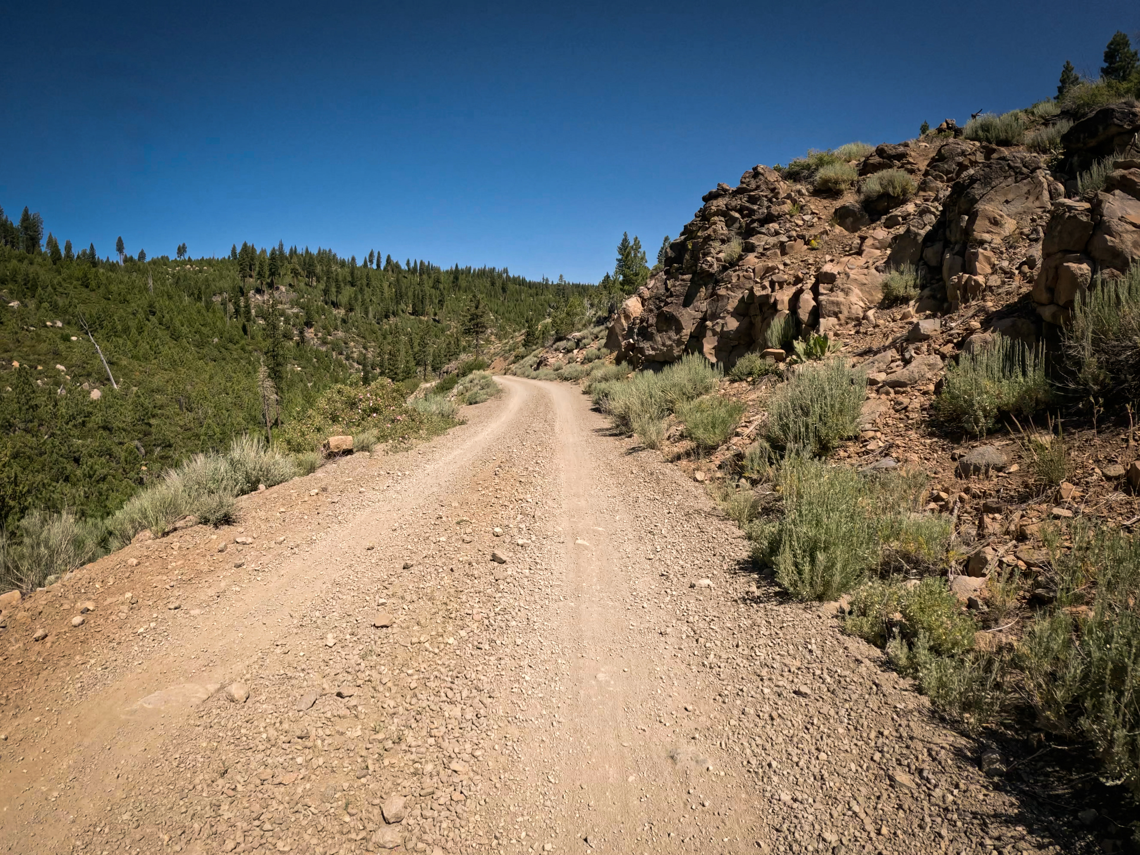
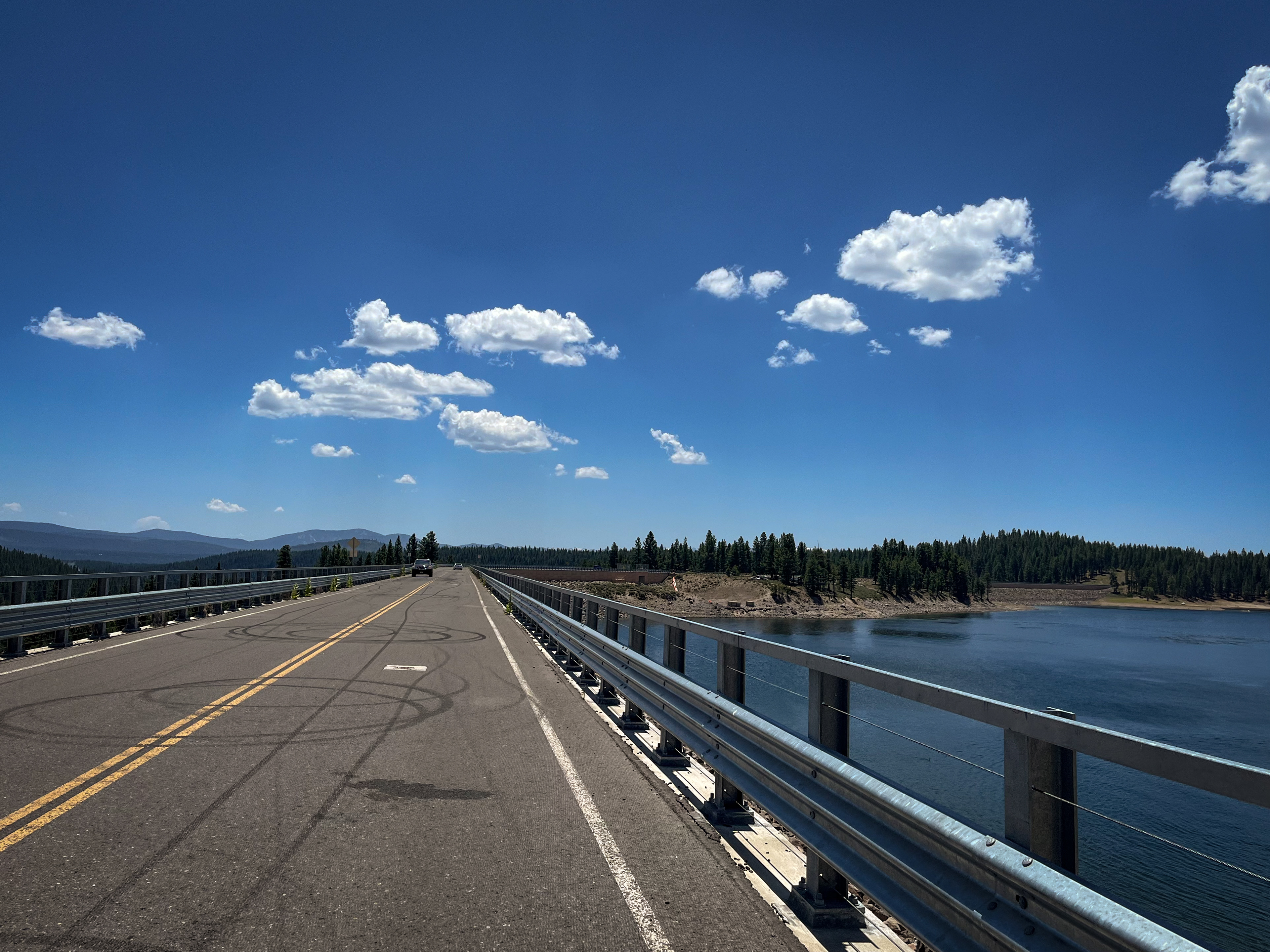
At mile 31, you’ll turn onto Smithneck Road and the next 8 miles will be a steady climb with fairly forgiving grades, followed by a descent and some rollers as you make your way to Stampede Reservoir. Around mile 48, you will cross the dam and with sweeping views of open meadows you’ll head towards Russell Valley.
At mile 52, there’s a short 1-mile climb up Dog Valley Road before making the descent down to Prosser Creek Reservoir where you will cross another dam around mile 56.
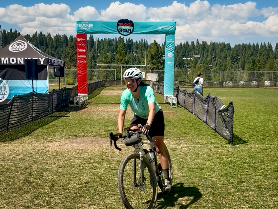
The final 10 miles are a mix of pavement and some less-than-ideal dirt. Around mile 60 for about a mile and half, there is a very chunky and bumpy dirt road until you reach Glenshire Drive. You’ll be on this road with cars for about a mile and there will be a short, steep section as you make your way to the Truckee River Legacy Trail entrance. This bike path is a fun, flowy descent down to the river, and you’ll ride along this path for about 2 miles until there’s an abrupt left turn up a tiny bit of singletrack (Note: if doing this route outside of the event, you could opt out of the rest of the route and just continue on the bike path for another few miles until you reach Riverview Sports Park.) The singletrack will lead you to pavement, which you’ll be on for about a mile. Then it’s a short final stretch of gravel (less than a mile) back to Riverview Sports Park where you’ll cross the finish line.
This event is well organized with great vibes and support. There are multiple aid stations every 15 to 20 miles, plenty of SAG vehicles and marshals along the course, road controls at every major intersection, a free post-race bike wash and a few food/beverage options at the finish.
Strava Route (Medium Course):
Participated in 2025 & 2026
Strava Route (Short Course):
https://www.strava.com/activities/7293842452
Participated in 2022 & 2023
cyclingjenny.com aims to provide content that is true and accurate as of the date of writing; however, the accuracy and judgment of the author is not guaranteed. cyclingjenny.com and its associates are in no way liable for personal injury, loss or damage to personal property, or any other such situation that should occur to individuals following the guides, routes and recommendations. Please review the full Terms & Disclaimer.