Ventura to Santa Barbara
Ventura, California
Road
60 miles | 1,200 ft elevation
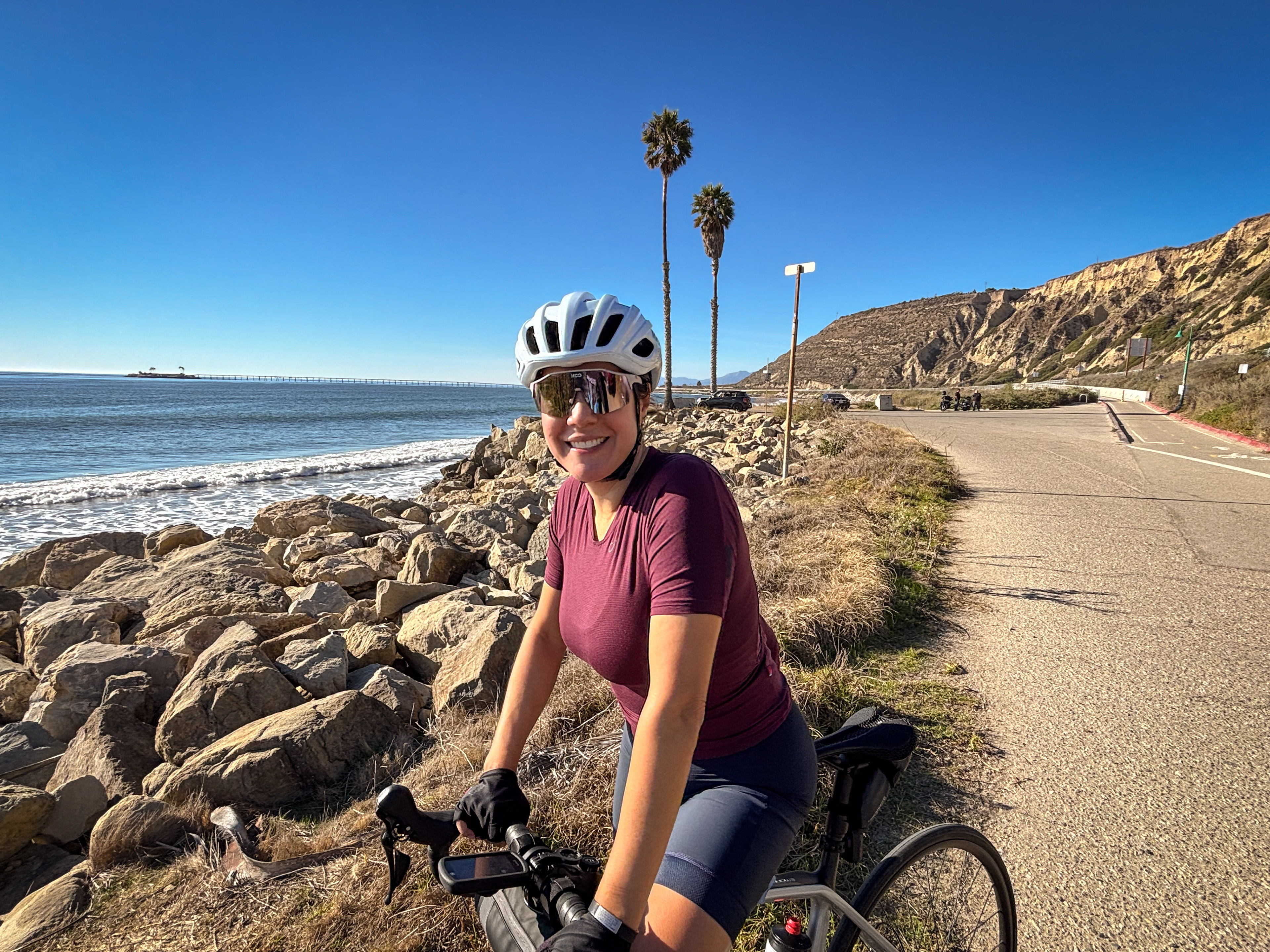
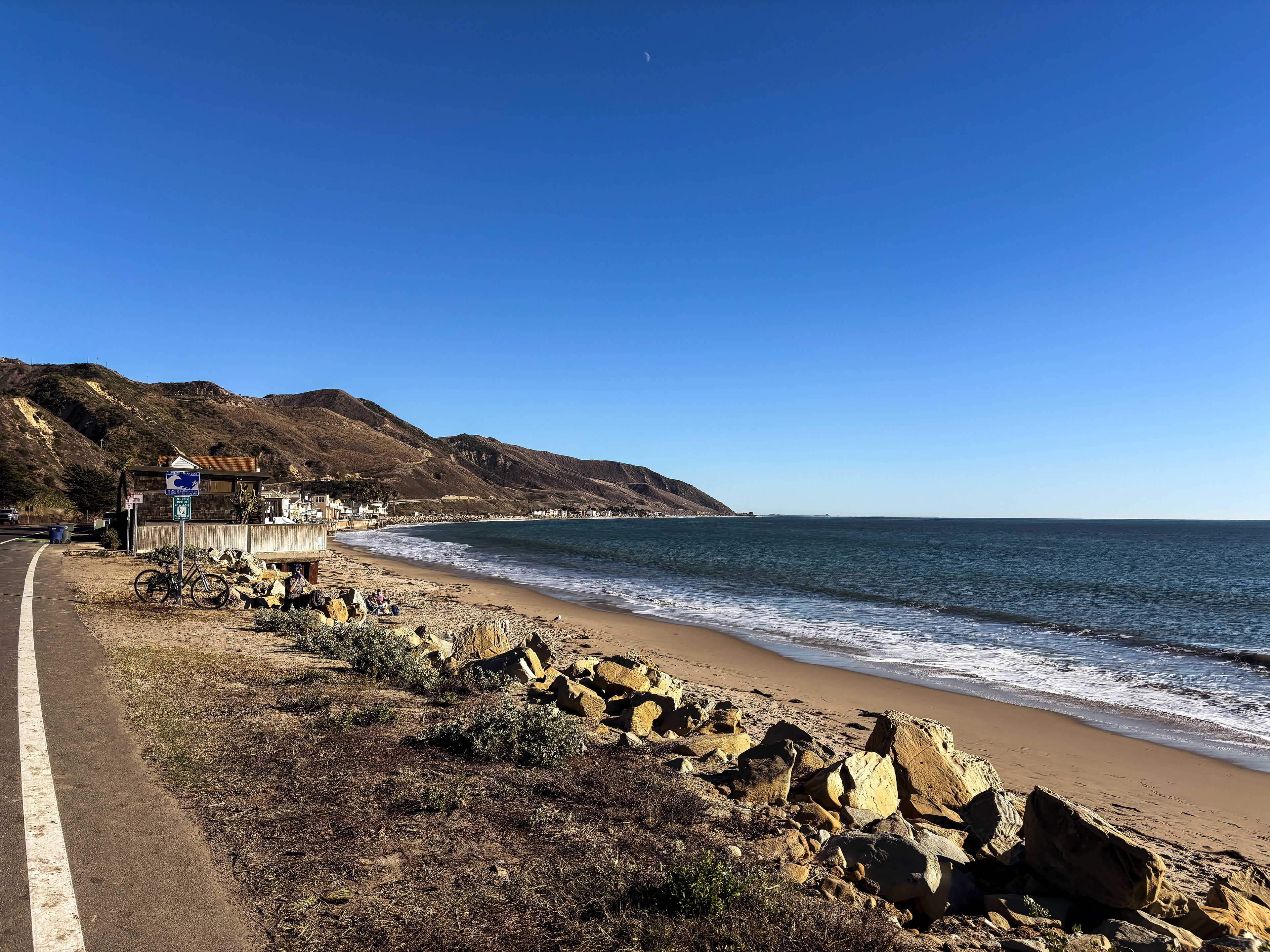
This route takes you along the coast from Ventura County into Santa Barbara County. Its mild elevation and stunning views of the Pacific make it a great option for a chill, quintessential California coast ride.
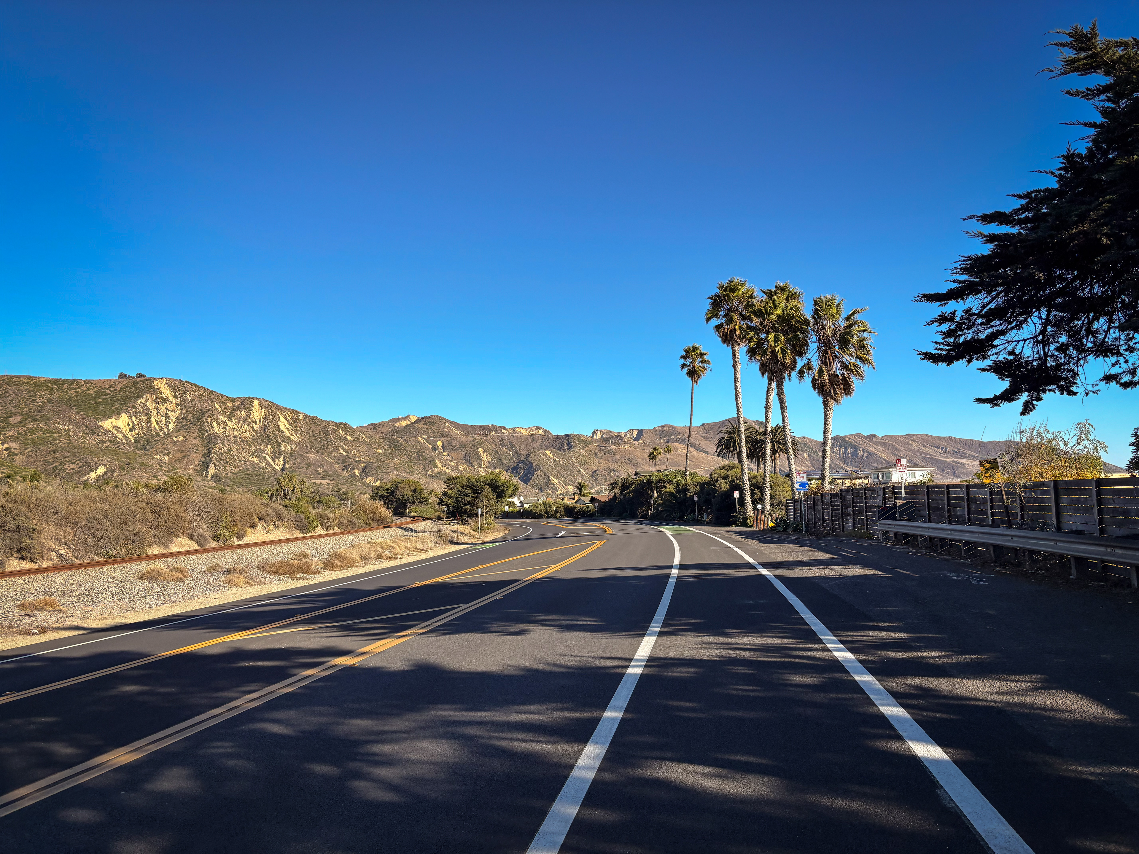
Starting from downtown Ventura, head west until you reach the coast and ride north along the Omer Rains Coastal Bike Trail. When the trail ends, you will pop out onto the Pacific Coast Highway (running parallel to the 101 Freeway), and for the next 7 miles you’ll pass beachgoers, surfers, oceanfront homes and countless RVs.
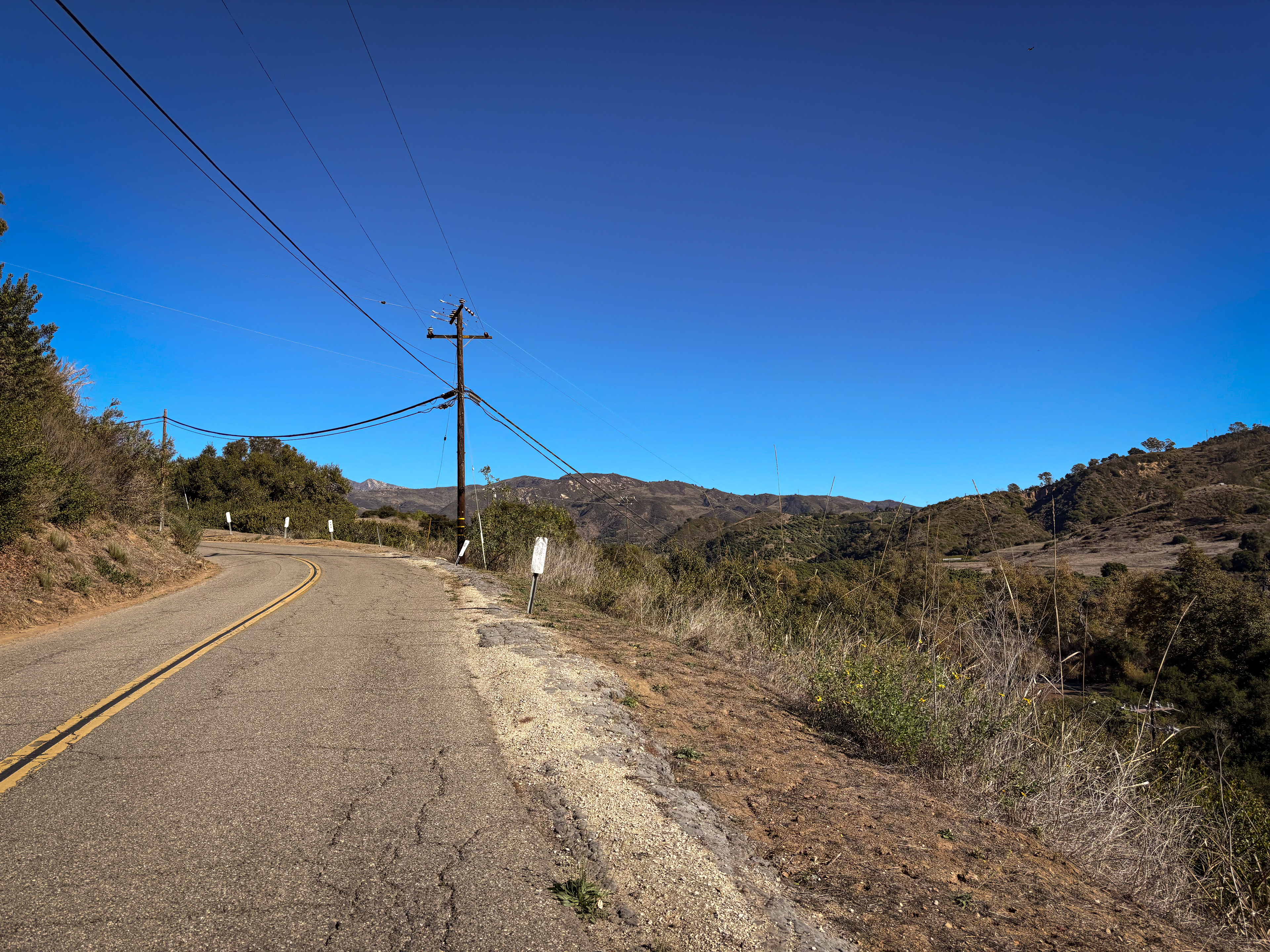
About 9 miles into the ride, you’ll reach the Rincon Bike Path, 3.5 miles of blissful riding along the water's edge. At the end of the trail, you’ll make your way up Rincon Hill Road, heading away from the ocean. After a short climb, you’ll make your descent down Casitas Pass Road and over the next 4 miles, you’ll ride through farmland, passing by many fields and crops.
Around mile 23, you’ll reach the small town of Summerland, a nice spot to grab a bite to eat (and a good place to turn around and head back if you want to do a shorter route). Continue on towards Santa Barbara, and in about 4 miles you will reach Andree Clark Bird Refuge. Head down East Cabrillo Blvd as you make your way towards the beach, passing the infamous State Street and soon you’ll reach the harbor around mile 30.
Then it’s time to make your way back, riding along the beach down the bike path. As you pass the bird refuge, you’ll veer off to the right onto Channel Drive, which wraps around the cemetery and brings you to the entrance of another bike path. Soon you’ll be riding back through Summerland, and this time you’ll take Padaro Lane and Santa Claus Lane into the town of Carpinteria.
Once you reach Rincon Road around mile 45, you will ride briefly on the 101 Freeway to get back to the Rincon Bike Path (it is a descent and the shoulder is wide)(Alternatively, if you want to avoid the freeway, continue on Rincon Road and then take the descent down Rincon Hill Road). The remaining 14 miles are the same roads and paths you took at the beginning of the route, so enjoy those ocean views as you make your way back to Ventura.
Strava Route:
Alternative shorter option:
Notes
Parking in downtown Ventura can be difficult after the morning, especially on the weekends, so try to start early and pay attention to parking signs.
There are a number of options in Summerland, Santa Barbara and Carpinteria to refill water bottles or grab some food.


cyclingjenny.com aims to provide content that is true and accurate as of the date of writing; however, the accuracy and judgement of the author is not guaranteed. cyclingjenny.com and its associates are in no way liable for personal injury, loss or damage to personal property, or any other such situation that should occur to individuals following the guides, routes and recommendations. Please review the full Terms & Disclaimer.